Photo: Sam Beebe, CC BY 2.0
#1 · Farm · 1 hr 5 min east
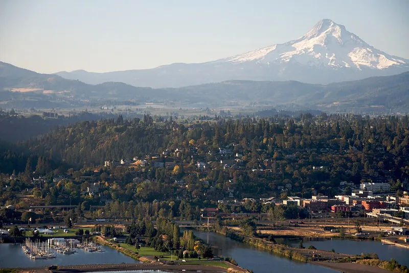
Hood River and the Fruit Loop
Orchards, farm stands, cideries and wineries with Mount Hood in view.
- Half day
- Spring blossoms through fall harvest
- No pass or fee needed
Heads-up: Bring a designated driver for tastings.
Plan my day
Official site
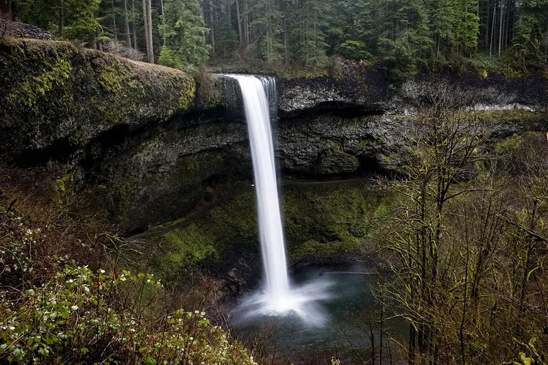
Photo: Kelvin Kay -- Kkmd at English Wikipedia, CC BY-SA 3.0
#2 · State park · 1 hr 17 min south
Silver Falls State Park
The Trail of Ten Falls, including a path behind 177-foot South Falls.
- Half day
- Year-round
- Oregon State Parks day-use parking permit
Heads-up: Dogs aren't allowed on the Canyon Trail (the Trail of Ten Falls loop below the rim) or the Maple Ridge, Winter Falls and Twin Falls trails.
Plan my day
Official site
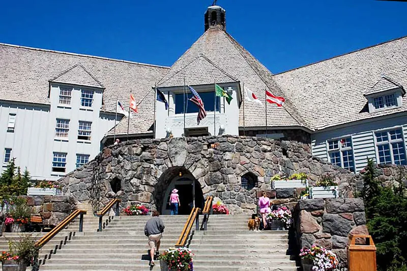
Photo: Kelvin Kay, Kkmd at en.wikipedia, CC BY-SA 3.0
#3 · Historic lodge · 1 hr 20 min east
Timberline Lodge
A 1930s stone and timber lodge high on Mount Hood, with year-round snow above.
- 2 hrs
- Year-round
- Sno-Park permit Nov 1-Apr 30
Heads-up: Winter driving: carry chains.
Plan my day
Official site
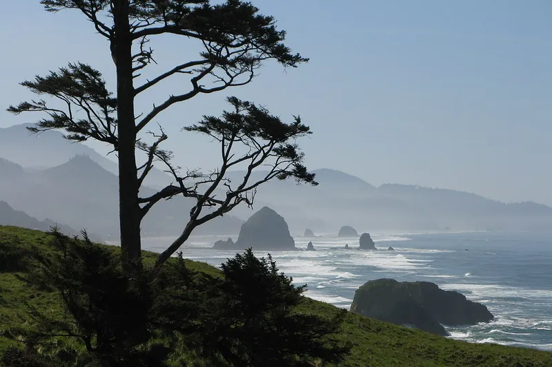
Photo: Brmuchim (talk), CC BY-SA 3.0
#4 · State park · 1 hr 34 min northwest
Ecola State Park
Forested headland trails with big views of the coast and Haystack Rock, plus Indian Beach for surfers.
- 2-3 hrs
- Year-round
- Oregon State Parks day-use parking permit
Heads-up: Landslides have closed parts of the park before; the west section of the Clatsop Loop Trail has been closed since April 2026 by an active slide. Check the park page before you go.
Plan my day
Official site
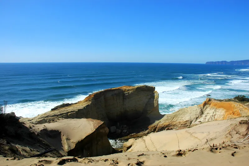
Photo: Ennetws, Public domain
#5 · Viewpoint · 1 hr 52 min west
Cape Kiwanda and Pacific City
A giant sand dune above a sandstone cape, with dories launching off the beach.
- 2 hrs
- Year-round
- Tillamook County parking pass
Heads-up: Stay behind the fences on the cape; people have fallen from the edges. Sinkholes have opened on the dune, so keep out of fenced areas.
Plan my day
Official site
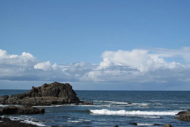
Photo: Dougtone, CC BY-SA 2.0
#6 · Viewpoint · 2 hr 22 min southwest
Yaquina Head
Oregon's tallest lighthouse, tide pools and seabird colonies.
- 2 hrs
- Year-round
- BLM site fee
Heads-up: Tide pool access depends on the tide. Dogs are allowed on leash on trails, but not near the lighthouse or in the tide pools. Lighthouse tours are limited while restoration work goes on.
Plan my day
Official site
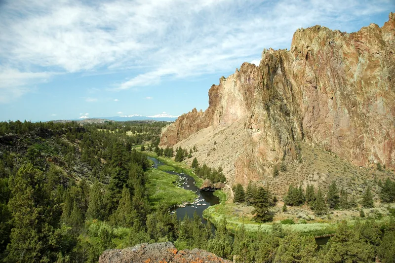
Photo: Ennetws, Public domain
#7 · State park · 2 hr 52 min southeast
Smith Rock State Park
Towering rock walls above the Crooked River, a top climbing spot with river trails for everyone.
- Half day
- Year-round; summer is hot
- Oregon State Parks day-use parking permit
Heads-up: Misery Ridge is steep and exposed; the River Trail is easy. Construction closes some trails and parking Dec 2026-May 2027.
Plan my day
Official site
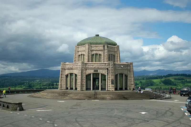
Photo: Josh B, CC BY-SA 2.0
#8 · Viewpoint · 30 min east
Vista House and Crown Point
A stone observatory high above the Columbia River at the start of the waterfall road.
- 1 hr
- Year-round
- No pass or fee needed
Heads-up: It's one of the windiest spots in the Gorge.
Plan my day
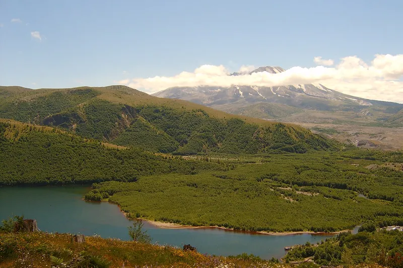
Photo: Unknown, Public domain
#9 · Viewpoint · 1 hr 56 min north
Coldwater Lake and Johnston Ridge
The west-side view straight into Mount St. Helens' blast zone.
- Half day
- Summer-fall
- NW Forest Pass
Heads-up: Coldwater Lake is open. SR 504 past milepost 45 and Johnston Ridge Observatory stay closed for bridge rebuilding after the 2023 landslide (target spring 2027).
Plan my day
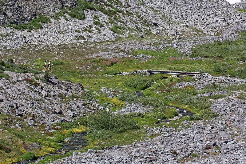
Photo: Walter Siegmund (talk), CC BY-SA 3.0
#10 · Viewpoint · 2 hr 51 min northeast
Paradise and the Skyline Trail
Wildflower meadows and glaciers on Mount Rainier's south side, with a visitor center.
- Half day
- July-Sept flowers; winter snowplay
- NPS entrance fee
Heads-up: No timed entry in 2026; summer weekend lots fill by late morning.
Plan my day
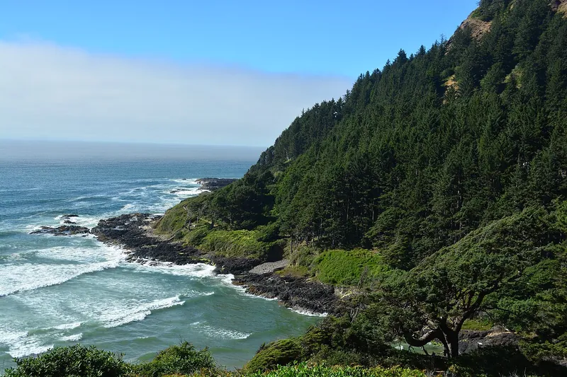
Photo: Joe Mabel, CC BY-SA 4.0
#11 · Viewpoint · 2 hr 54 min southwest
Cape Perpetua
Thor's Well, the Spouting Horn and a stone shelter view from the highest point on the coast road.
- 2-3 hrs
- Year-round
- Recreation pass
Heads-up: Stay well back from Thor's Well; sneaker waves are deadly.
Plan my day
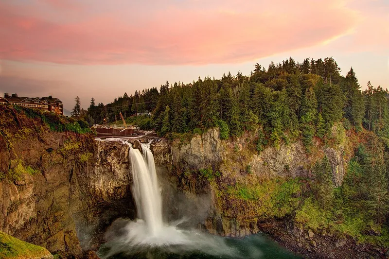
Photo: Meher Anand Kasam, CC BY-SA 3.0
#12 · Waterfall · 2 hr 56 min north
Snoqualmie Falls
A 268-foot falls with an overlook a short walk from the parking lot.
- 1 hr
- Year-round
- Free upper lot (cross the sky bridge); the lower lot charges for parking
Heads-up: Lower trail is steep.
Plan my day
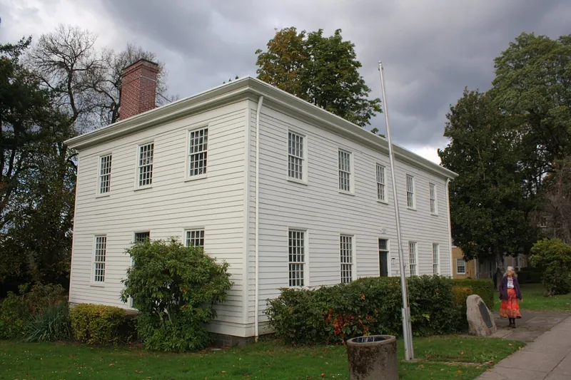
Photo: Pete Forsyth, CC BY 4.0
#13 · History · 26 min south
Oregon City and Willamette Falls
The end of the Oregon Trail, a free municipal elevator and a view of the big Willamette Falls.
- 2-3 hrs
- Year-round
- Museum admission
Plan my day
Official site
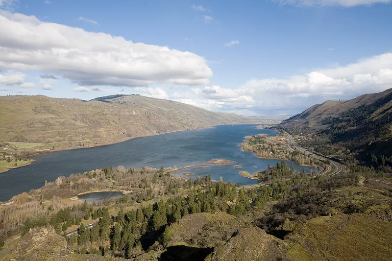
Photo: Cacophony, CC BY 3.0
#14 · Viewpoint · 1 hr 16 min east
Rowena Crest
A loop road and plateau with spring wildflowers above the eastern Gorge.
- 1-2 hrs
- Spring wildflowers
- No pass or fee needed
Heads-up: Ticks and poison oak, so stay on trails. Dogs aren't allowed on the Tom McCall Preserve trails, and there are no restrooms at the crest (they're at lower Mayer).
Plan my day
Official site
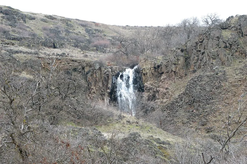
Photo: Ian Poellet, CC BY-SA 4.0
#15 · State park · 1 hr 32 min east
Columbia Hills State Park
Petroglyphs and the She Who Watches rock image, with guided tours.
- 1-3 hrs
- Spring wildflowers; year-round
- Discover Pass
Heads-up: See She Who Watches only on a free ranger tour (Fri and Sat mornings, April-October); register ahead, they fill weeks early.
Plan my day
Official site