Photo: BroMcjoe, CC BY-SA 4.0
#1 · National monument · 2 hr 38 min east
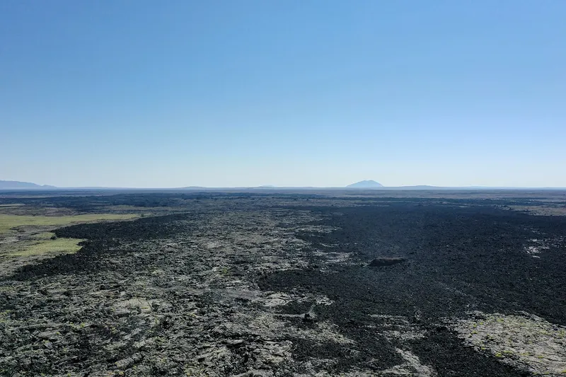
Craters of the Moon National Monument and Preserve
A huge, strange lava field with a 7-mile loop road past cinder cones, spatter cones and lava tubes you can walk into with a flashlight.
- Half day
- Best May to October (Loop Road not fully open about November to April)
- NPS entrance fee (per vehicle) or America the Beautiful pass (waived when the Loop Road isn't fully open)
Heads-up: Caves need a free permit from the visitor center and close once ice sets in. No dogs on trails or the lava, and little shade.
Plan my day
Official site
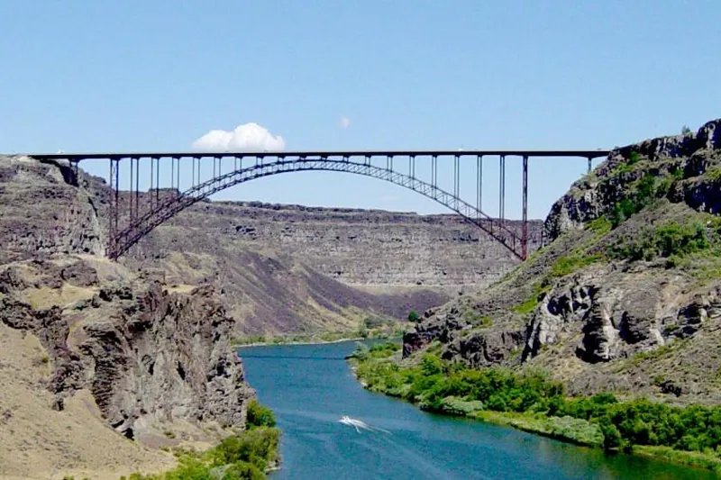
Photo: Daniel Mayer, CC BY-SA 3.0
#2 · Landmark · 1 hr 43 min southeast
Perrine Bridge
A 1,500-foot steel bridge almost 500 feet above the Snake River, one of the few places in the US where BASE jumpers leap legally, with canyon overlooks by the visitor center.
Heads-up: Park at the Twin Falls Visitor Center on the south rim, where jumpers often stage. The east-side path (about 0.6 mile) has the overlooks.
Plan my day
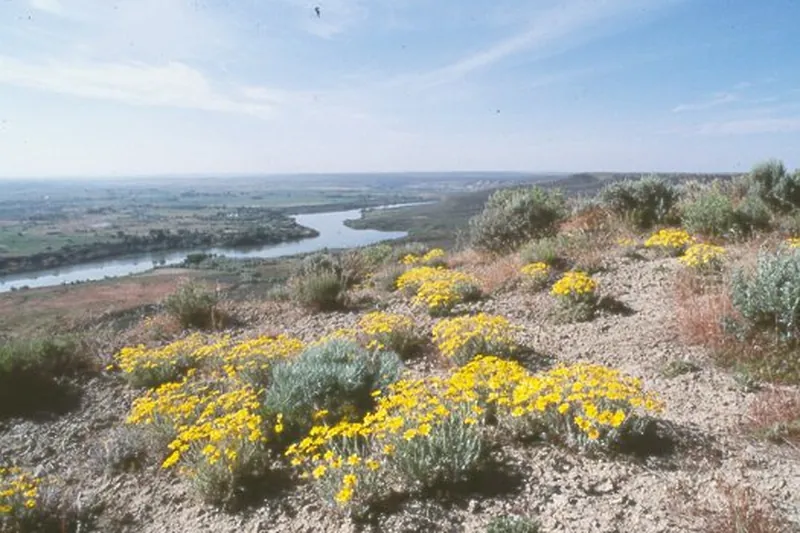
Photo: NPS photo, Public domain
#3 · National monument · 1 hr 38 min southeast
Hagerman Fossil Beds National Monument
A visitor center shows fossils of the Hagerman horse and other Ice Age animals; nine miles away, overlooks and a 3-mile trail follow the Snake River bluffs and Oregon Trail ruts.
- 2-3 hrs
- Year-round (visitor center open fewer days off-season; check)
- Free
Heads-up: The fossils are only at the visitor center in Hagerman. Dogs only on paved areas, and the overlooks and trail have no shade or water.
Plan my day
Official site
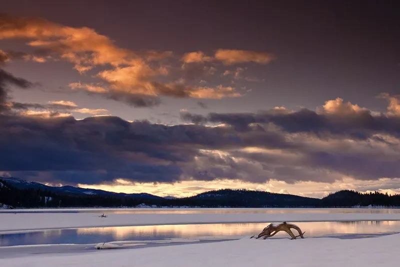
Photo: Charles Knowles from Meridian Idaho, USA, CC BY 2.0
#4 · State park · 2 hr 8 min north
Ponderosa State Park
A forested peninsula in Payette Lake with beaches, bike trails and the Osprey Point view, plus groomed ski trails in winter.
- Half day
- Year-round
- Idaho State Parks entrance fee (per vehicle) or Idaho State Parks Passport
Heads-up: The Meadow Marsh trail is closed after fall burning; expect short road closures for forest work this fall.
Plan my day
Official site
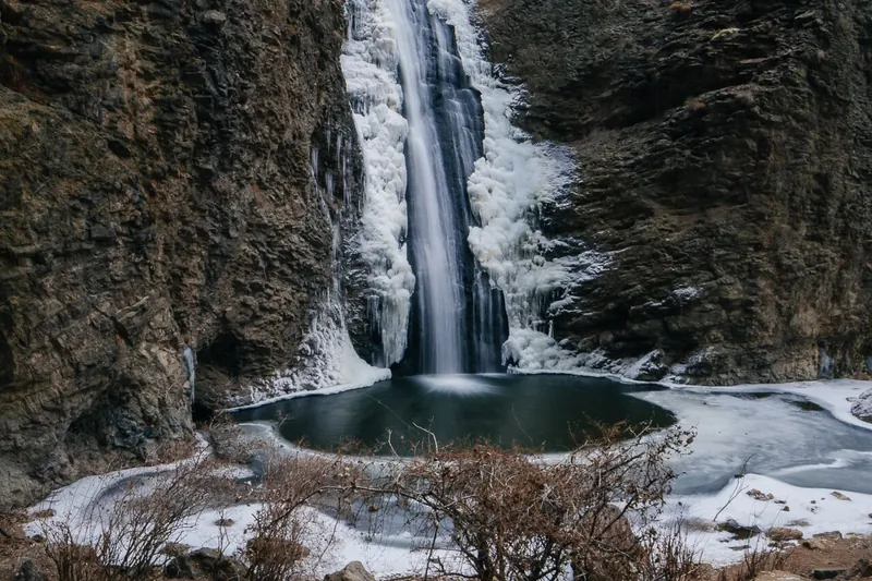
Photo: Nroslm, CC BY 3.0
#5 · Waterfall · 55 min west
Jump Creek Falls
A short walk up a narrow rhyolite canyon ends at a 60-foot waterfall with a pool, with a second path to an overlook.
- 1-2 hrs
- Year-round (best spring)
- BLM day-use fee
Heads-up: Open 6 a.m. to 9 p.m. The gravel road crosses private land, and poison ivy lines the creek trail.
Plan my day
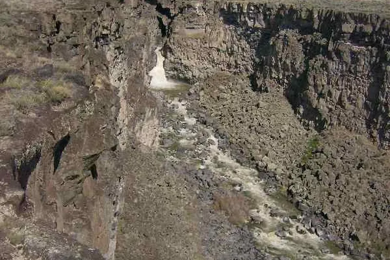
Photo: photophat, CC BY 3.0
#6 · Canyon · 1 hr 25 min southeast
Malad Gorge
A 250-foot-deep slot gorge right off I-84, with a footbridge over the Devil's Washbowl falls and rim paths along the canyon.
- 1-2 hrs
- Year-round
- Idaho State Parks entrance fee (per vehicle) or Idaho State Parks Passport
Heads-up: Take I-84 to the Tuttle exit. Day use is 7 a.m. to 10 p.m.; in the off-season the back gate is closed to cars but you can walk in.
Plan my day
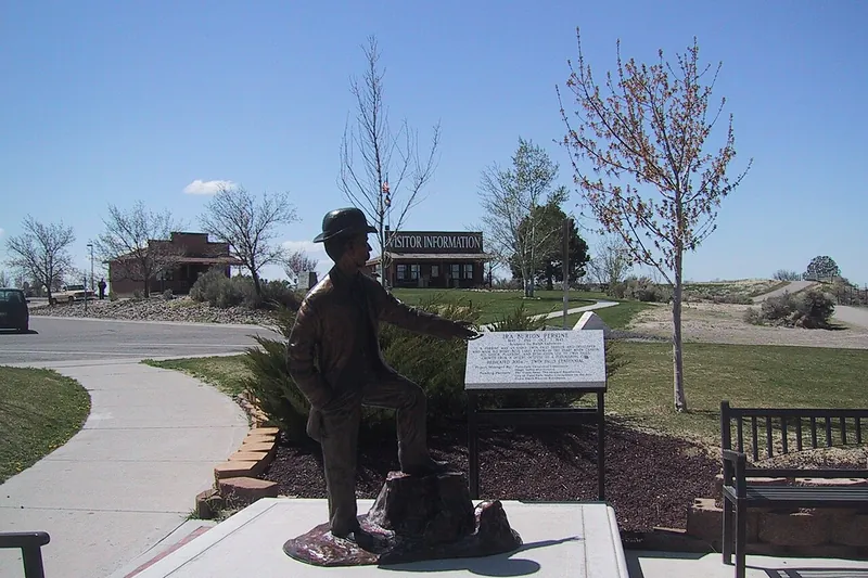
Photo: Maitra, CC BY 3.0
#7 · Trail · 1 hr 44 min southeast
Snake River Canyon Rim Trail
A paved path of about 7.6 miles along the canyon rim with views of the Perrine Bridge, Pillar Falls and Shoshone Falls; easy to walk just a piece of it.
Heads-up: Trailheads include the visitor center, Federation Point and the Evel Knievel jump site; some close for construction from time to time.
Plan my day
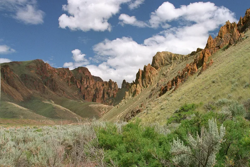
Photo: Bureau of Land Management, Public domain
#8 · Scenic drive · 1 hr 55 min west
Leslie Gulch
A narrow canyon of orange honeycombed rock near Lake Owyhee.
- Half day
- Spring-fall
- No pass or fee needed
Heads-up: Gravel road; rain, flash floods or snow can make it impassable. High clearance is best; not for big RVs.
Plan my day
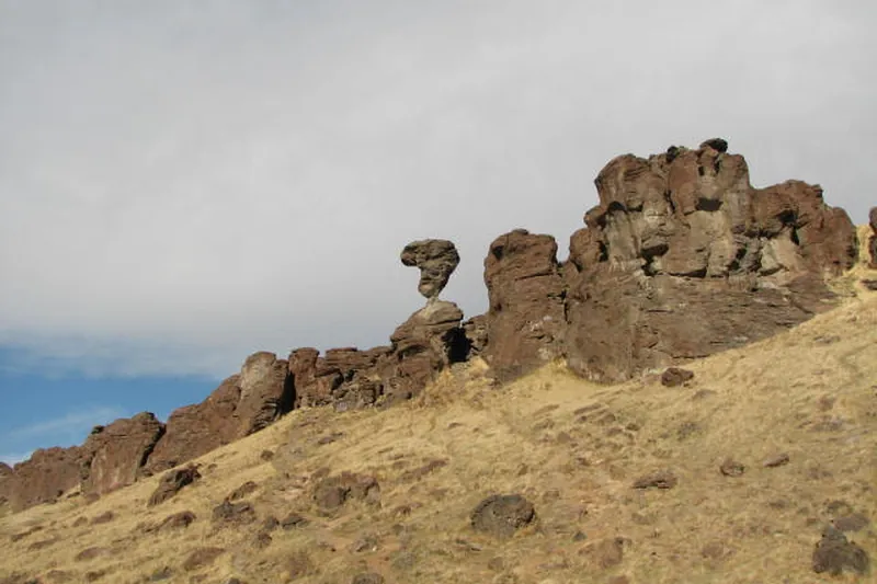
Photo: XJRW, CC BY-SA 4.0
#9 · Landmark · 2 hr 3 min southeast
Balanced Rock
A 48-foot mushroom-shaped rock balanced on a tiny base above Salmon Falls Creek canyon, with a short, steep path up to it.
- 1 hr
- Best April to October
- Free
- Confirm fees and hours before you go
Heads-up: On back roads southwest of Buhl, past Castleford. Map "Balanced Rock" itself, not the county park half a mile away in the canyon.
Plan my day
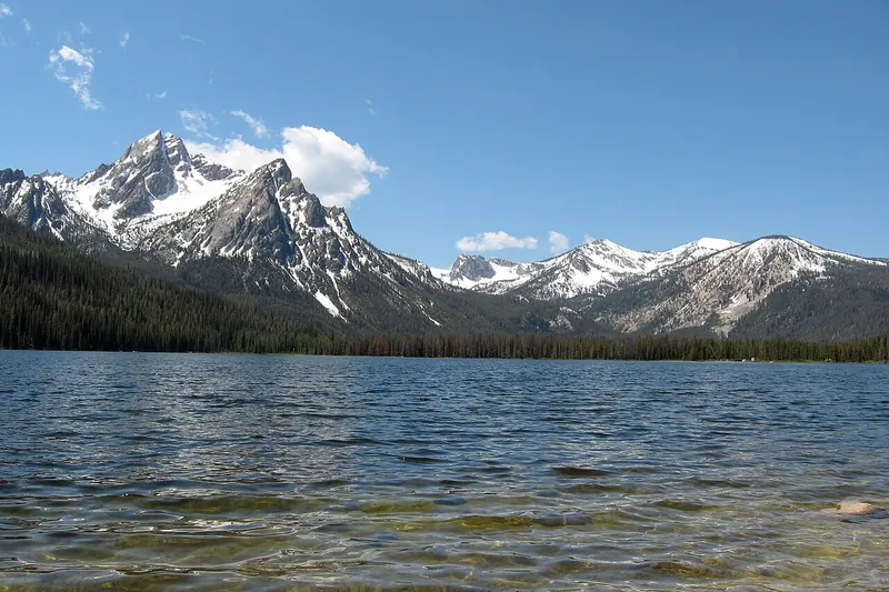
Photo: Fredlyfish4, CC BY-SA 4.0
#10 · Lake · 2 hr 40 min northeast
Stanley Lake
McGown Peak towers over this calm, easy-to-reach lake, good for paddling, fishing and a picnic, with a roadside overlook on the way in.
- 2-3 hrs
- Best June to September
- Free
- Confirm fees and hours before you go
Heads-up: A paved road off Highway 21 west of Stanley. Water skiing only 10 a.m. to 6 p.m., so mornings are quieter.
Plan my day
#11 · Scenic drive · 51 min north
Payette River Scenic Byway
Highway 55 follows whitewater north from Eagle past Horseshoe Bend, Banks and Cascade to McCall.
Heads-up: A two-lane, curvy canyon with heavy weekend traffic.
Plan my day
#12 · Canyon · 1 hr 40 min southeast
Box Canyon Springs
A short rim walk looks down on a blue-green spring pouring out of the canyon wall, one of the largest springs in North America.
- 1-2 hrs
- Year-round
- Idaho State Parks entrance fee (per vehicle) or Idaho State Parks Passport
- Confirm fees and hours before you go
Heads-up: Part of Thousand Springs State Park. The trail down into the canyon is steeper and has no shade.
Plan my day