Photo: Brocken Inaglory, CC BY-SA 3.0
#1 · National park · 2 hr 31 min west
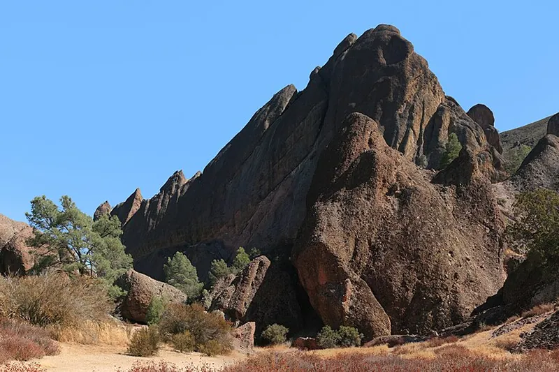
Pinnacles National Park
Spires and talus caves from an ancient volcano, plus condors and good hiking trails.
- Half day
- Year-round; best Oct-May
- See the official site for current fees
Heads-up: No road connects the east and west sides. Hot in summer. Dogs are only allowed in parking areas.
Plan my day
Official site
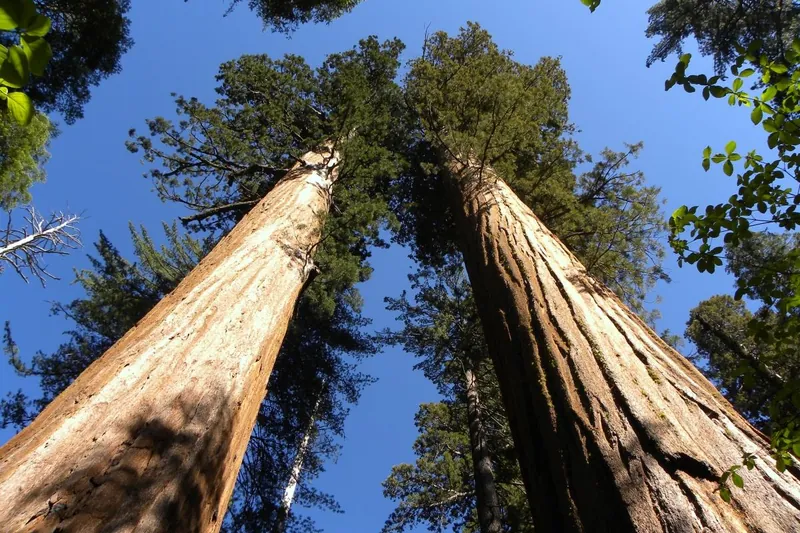
Photo: MARELBU, CC BY 3.0
#2 · State park · 2 hr 55 min north
Calaveras Big Trees State Park
Giant sequoias in the North Grove on an easy, mostly flat loop, where the big trees first became famous in the 1850s.
- 2-4 hrs
- Year-round (best May to October)
- California State Parks day-use fee (per vehicle)
Heads-up: The South Grove is closed now. The road past the North Grove closes at the first big snow or December 1.
Plan my day
Official site
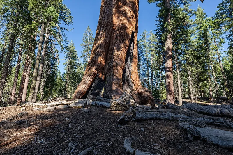
Photo: Dietmar Rabich, CC BY-SA 4.0
#3 · Hike · 1 hr 14 min north
Mariposa Grove of Giant Sequoias
Walk among huge sequoias including the Grizzly Giant. A shuttle or short hike runs from the welcome plaza.
- Half day
- Shuttle usually runs spring-Nov; check
- See the official site for current fees
Heads-up: Parking is at the welcome plaza only. Road may close with snow. Road open only to disability-placard vehicles; shuttle runs about late April through November; check NPS alerts for fire or snow…
Plan my day
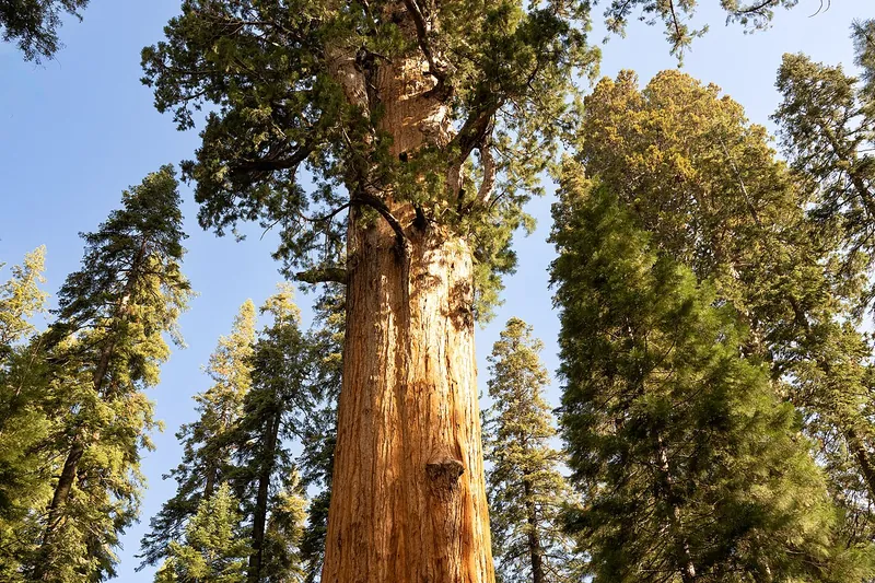
Photo: Eric Kilby from Somerville, MA, USA, CC BY-SA 2.0
#4 · Landmark · 1 hr 39 min east
General Sherman Tree
The largest tree on Earth by volume, reached by a short paved trail.
- 1-2 hrs
- Year-round
- See the official site for current fees
Heads-up: Shuttle in summer. Winter roads may need chains. Open; summer shuttle ended; trail icy in winter, bring traction devices
Plan my day
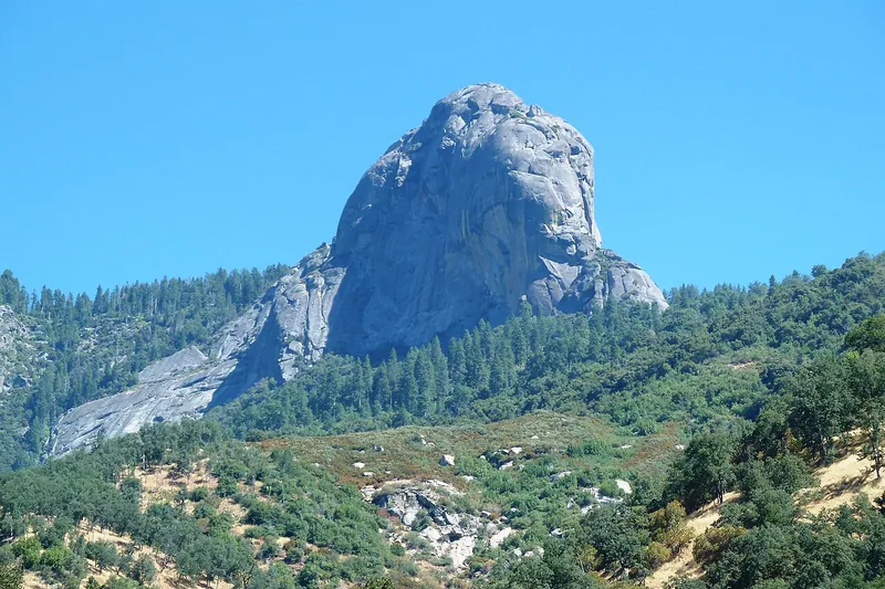
Photo: DiverDave, CC BY-SA 3.0
#5 · Hike · 1 hr 46 min east
Moro Rock
A short granite staircase climb to a sweeping view of the Great Western Divide.
- 1 hr
- Road usually open; winter closure possible
- See the official site for current fees
Heads-up: Stairs are steep. Road closes in snow. Crescent Meadow/Moro Rock road open now but not plowed; stairway closes when icy or snowy
Plan my day
#6 · Landmark · 1 hr 51 min north
El Capitan Meadow
Pull over and watch climbers on the granite face with binoculars. A flat walk by the Merced River.
- 30 min-1 hr
- Year-round
- See the official site for current fees
Heads-up: Stay on paths to protect the meadow. Open year-round; weekday 15 minute delays at El Capitan Bridge through Dec 2026
Plan my day
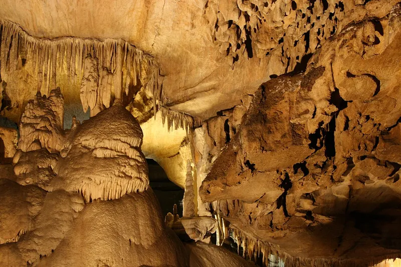
Photo: Vgane at English Wikipedia, CC BY 2.5
#7 · Cave · 2 hr 3 min east
Crystal Cave
A marble cave with guided tours through chambers of stalactites.
- 2-3 hrs
- Seasonal; tours in 2026 season (confirm before you go)
- See the official site for current fees
Heads-up: Tickets must be bought online in advance.
Plan my day
Official site
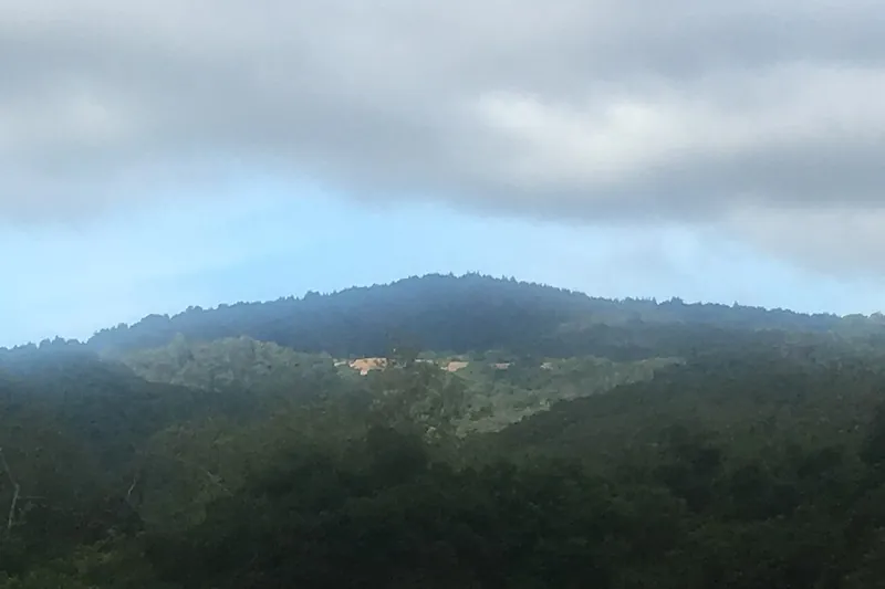
Photo: Wahn, CC BY-SA 4.0
#8 · Hike · 2 hr 16 min west
Mount Madonna County Park
Redwoods, hiking and picnic areas above Gilroy.
- 2-4 hrs
- Year-round
- See the official site for current fees
Heads-up: Hot in summer. Winding road. Open 8am to sunset; $6 parking
Plan my day
Official site
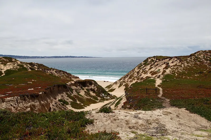
Photo: Nikita, CC BY 2.0
#9 · Beach · 2 hr 21 min west
Fort Ord Dunes State Park
Wide dunes and a long, quiet beach with a paved bike trail along the bay.
- 1-3 hrs
- Year-round
- See the official site for current fees
Heads-up: Strong wind and cold water. Stay out of the surf. Open 8am-sunset; some trails (part of Beach Range Road) closed; no campground yet, under construction
Plan my day
Official site
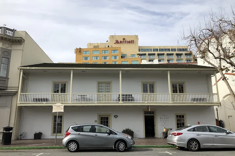
Photo: Missvain, CC BY 4.0
#10 · Historic site · 2 hr 29 min west
Monterey State Historic Park
Walk a trail of adobe buildings from California's Spanish and Mexican capital.
- 2-3 hrs
- Year-round; some buildings limited hours (confirm before you go)
- See the official site for current fees
Heads-up: Interiors are open on limited days.
Plan my day
Official site
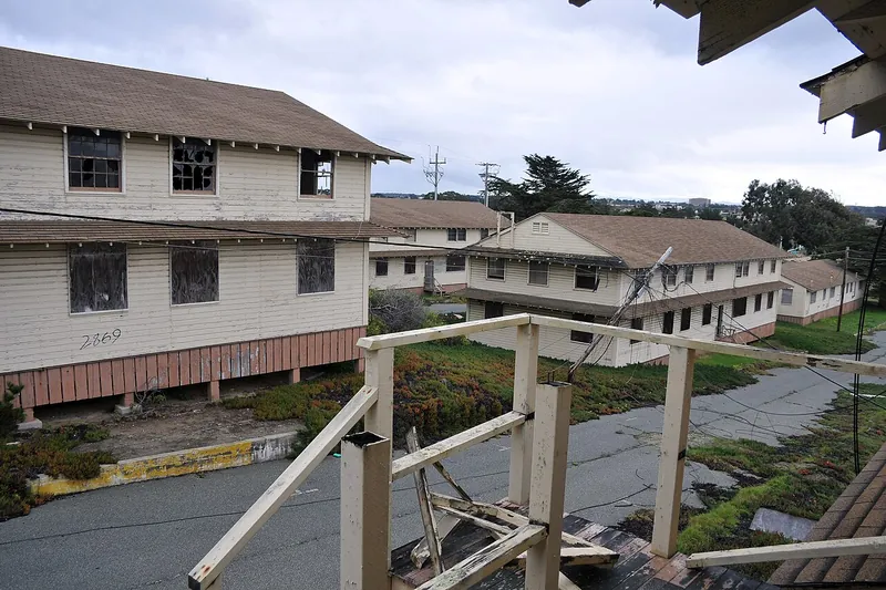
Photo: Presidio of Monterey, Public domain
#11 · Bike trail · 2 hr 36 min west
Fort Ord National Monument
Big network of hiking and mountain biking trails over oak hills above Monterey Bay.
- 2-4 hrs
- Year-round; best in spring
- Free
Heads-up: Do not leave marked trails. Old military land.
Plan my day
Official site
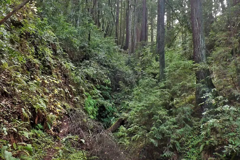
Photo: young shanahan, CC BY 2.0
#12 · State park · 2 hr 36 min west
The Forest of Nisene Marks State Park
Quiet second-growth redwood canyon with creek trails and mountain bike routes near Aptos.
- 2-4 hrs
- Year-round
- See the official site for current fees
Heads-up: Some trails are closed after storms. Check the park page. Day-use fee per vehicle; about 30 miles of trails
Plan my day
Official site
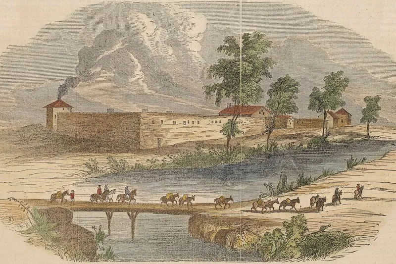
Photo: Clipping from: Gleason's Pictorial Drawing Room Companion. Printed (on verso):…, Public domain
#13 · Historic site · 2 hr 37 min northwest
Sutter's Fort State Historic Park
A rebuilt 1840s adobe fort that was the end of the trail for many overland pioneers, including Donner Party survivors.
- 1-2 hrs
- Year-round
- Admission
Heads-up: Open daily 10 to 5 except major holidays. No parking on site; use street meters.
Plan my day
Official site
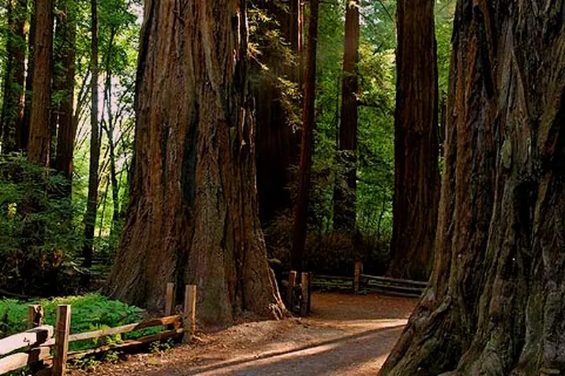
Photo: Bmp713, Public domain
#14 · State park · 2 hr 39 min west
Henry Cowell Redwoods State Park
Old-growth redwood loop trail and river trails in the Santa Cruz Mountains.
- 2-3 hrs
- Year-round
- See the official site for current fees
Heads-up: Dogs are limited to paved roads and some trails. Poison oak along side paths.
Plan my day
Official site
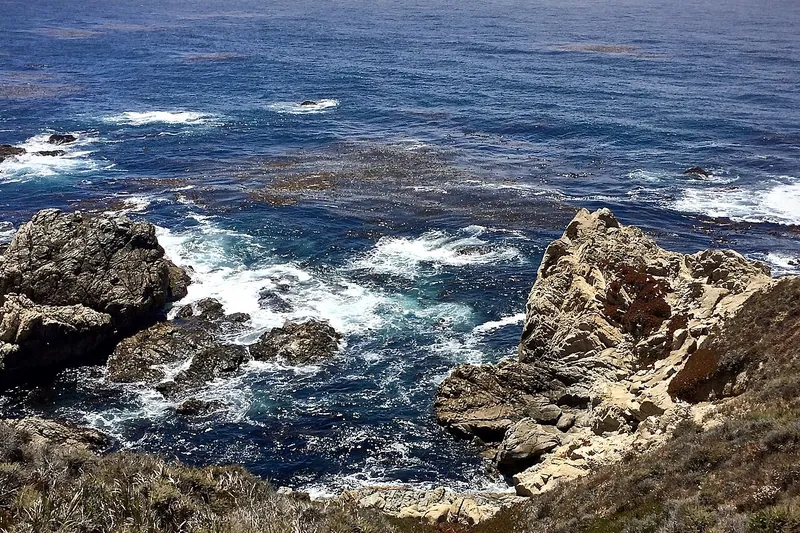
Photo: Peter D. Tillman from USA, CC BY-SA 2.0
#15 · Hike · 2 hr 40 min west
Garrapata State Park
Wildflower bluffs and a short trail to a quiet beach, just south of Carmel on Highway 1.
- 2-3 hrs
- Year-round; best in spring
- Free
Heads-up: Roadside parking. Watch traffic and poison oak.
Plan my day
Official site