Photo: Frank Schulenburg, CC BY-SA 4.0
#1 · Landmark · 1 hr 37 min southwest
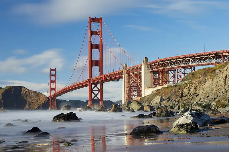
Golden Gate Bridge
The famous orange bridge. Walk or bike across for big views of the city, the bay and the Marin Headlands.
- 1-2 hrs
- Year-round; fog common in summer
- See the official site for current fees
Heads-up: Fog and wind are strong. Parking at the visitor plaza fills early. Bridge toll applies only to southbound cars. Welcome Center at south end; check goldengate.org for hours and parking
Plan my day
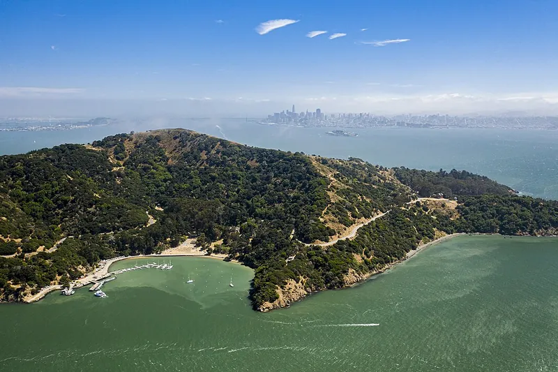
Photo: Taras Bobrovytsky, CC0
#2 · Island · 2 hr 17 min southwest
Angel Island State Park
Ferry to a bay island with a loop road, hiking, bike rentals and old military sites.
- Full day
- Year-round; reduced ferry in winter (confirm before you go)
- See the official site for current fees
Heads-up: Ferry needs advance tickets. No ferry on Thanksgiving or Christmas. Last boat leaves early afternoon in winter (confirm before you go).
Plan my day
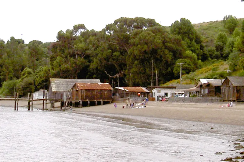
Photo: Stepheng3, Public domain
#3 · State park · 1 hr 30 min southwest
China Camp State Park
A San Rafael bayside park with shoreline trails, a historic fishing village and biking.
- 2-4 hrs
- Year-round
- See the official site for current fees
Heads-up: Hot in summer. Few services.
Plan my day
Official site
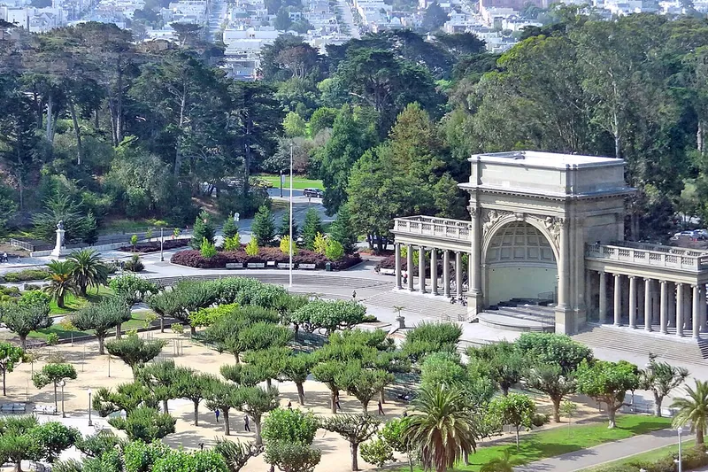
Photo: Dennis G. Jarvis, CC BY-SA 2.0
#4 · Garden · 1 hr 35 min southwest
Golden Gate Park
A huge city park with gardens, lakes, museums, bike paths and the Japanese Tea Garden.
- Half day
- Year-round
- See the official site for current fees
Heads-up: Car-free areas on some days. Parking inside is limited.
Plan my day
Official site
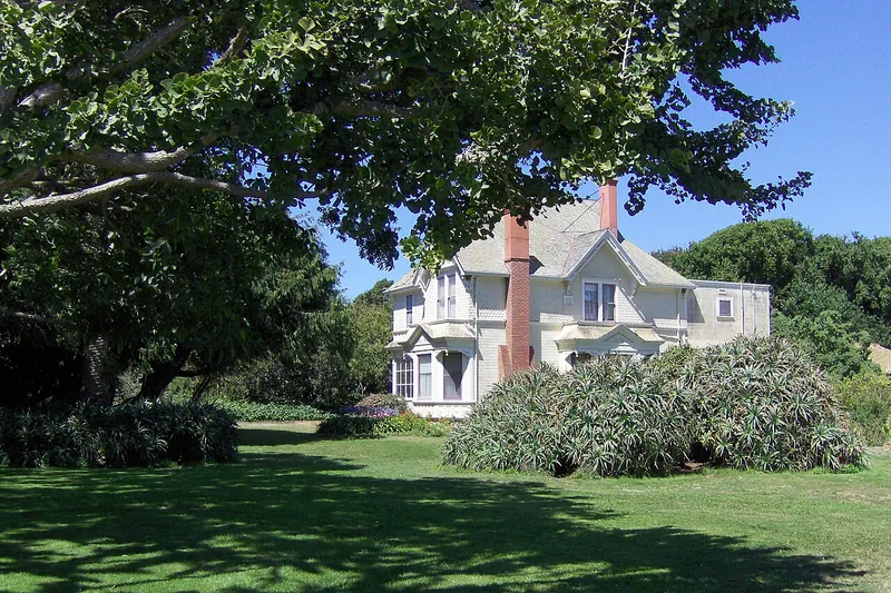
Photo: Grey3k, CC BY 3.0
#5 · State park · 2 hr 36 min south
Wilder Ranch State Park
Coastal bluffs, historic dairy farm buildings and bike-friendly trails north of Santa Cruz.
- 2-4 hrs
- Year-round
- See the official site for current fees
Heads-up: Fog and wind on the bluffs. Dogs only on some trails. Open 8am-sunset; park store closed until further notice after flooding; no dogs
Plan my day
Official site
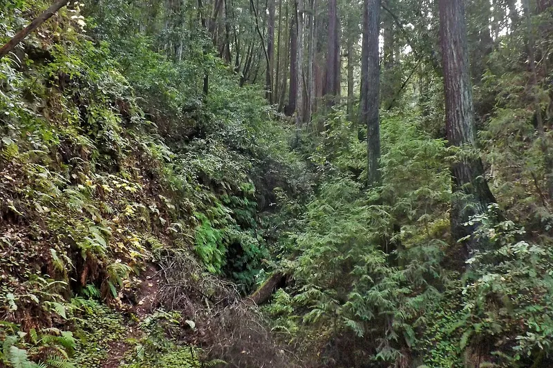
Photo: young shanahan, CC BY 2.0
#6 · State park · 2 hr 41 min south
The Forest of Nisene Marks State Park
Quiet second-growth redwood canyon with creek trails and mountain bike routes near Aptos.
- 2-4 hrs
- Year-round
- See the official site for current fees
Heads-up: Some trails are closed after storms. Check the park page. Day-use fee per vehicle; about 30 miles of trails
Plan my day
Official site
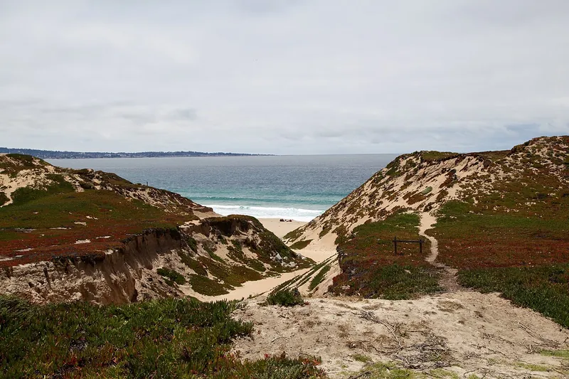
Photo: Nikita, CC BY 2.0
#7 · Beach · 2 hr 49 min south
Fort Ord Dunes State Park
Wide dunes and a long, quiet beach with a paved bike trail along the bay.
- 1-3 hrs
- Year-round
- See the official site for current fees
Heads-up: Strong wind and cold water. Stay out of the surf. Open 8am-sunset; some trails (part of Beach Range Road) closed; no campground yet, under construction
Plan my day
Official site
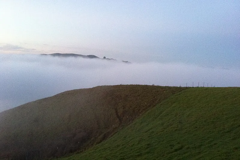
Photo: Griest, CC BY 3.0
#8 · Bike trail · 1 hr 17 min southwest
Lafayette-Moraga Regional Trail
A smooth paved path through the East Bay hills that follows an old rail line. Good for easy bike rides.
Heads-up: Shared with walkers and horses. Weekend crowds.
Plan my day
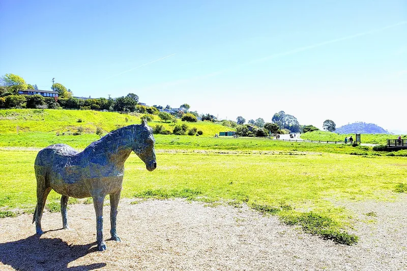
Photo: Buzzlovestravel, CC BY-SA 4.0
#9 · Bike trail · 1 hr 29 min southwest
Tiburon Linear Park and Bay Trail
A flat shoreline path from Tiburon toward Corte Madera with bay views and cafes in town.
Heads-up: Weekend crowds near the ferry landing.
Plan my day
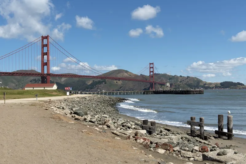
Photo: Carol M. Highsmith, Public domain
#10 · Bike trail · 1 hr 36 min southwest
Crissy Field Promenade
A flat waterfront path under the Golden Gate Bridge with beach and bridge views. Easy ride or stroll.
Heads-up: Windy and foggy. Dogs on leash in set areas. NPS/Presidio page for Crissy Field Marsh and Beach
Plan my day
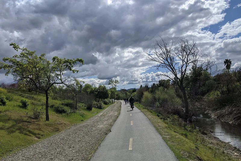
Photo: Grendelkhan, CC BY-SA 4.0
#11 · Bike trail · 1 hr 59 min south
Los Gatos Creek Trail
A paved creek trail from Los Gatos toward San Jose, with shade and small lakes.
Heads-up: Trailheads can fill on weekends.
Plan my day
#12 · Bike trail · 1 hr 45 min south
Alameda Creek Regional Trail
A long paved path along a creek from Fremont toward the bay. Birds and flat riding.
Heads-up: Little shade. Wind in the afternoon.
Plan my day