Photo: Blervis, CC0
#1 · State park · 38 min east
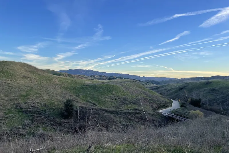
Chino Hills State Park
Rolling grass and oak hills with trails for hiking and mountain biking.
- 2-4 hrs
- Year-round; best Nov-Apr
- California State Parks day-use fee per car
Heads-up: Hot in summer. Rattlesnakes are common. Open 8 AM to 5 PM in winter; closes 48+ hours after rain over 1/4 inch and during Red Flag Warnings
Plan my day
Official site
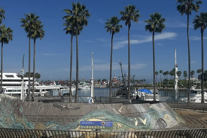
Photo: Benoît Prieur, CC0
#2 · Small town · 28 min south
Long Beach Shoreline Village and Rainbow Harbor
Harbor boardwalk with shops, carousel, ferry to the Queen Mary and bike paths.
Heads-up: Parking is paid. City page for Rainbow Harbor; Shoreline Village shops and rides adjacent.
Plan my day
Photo: David Lofink, CC BY 2.0
#3 · Bike trail · 38 min southeast
Yorba Linda Santa Ana River Trail
A long paved river path through Orange County, good for bikes and walks.
Heads-up: Little shade. Bring water. OC Parks trail map; paved multi-use trail.
Plan my day
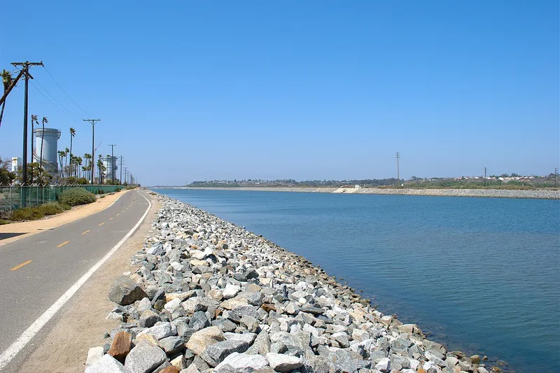
Photo: Basar, CC BY-SA 3.0
#4 · Bike trail · 43 min east
Santa Ana River Trail
A long paved trail along the river for biking and walking through Riverside and San Bernardino counties.
Heads-up: Hot and shadeless in places in summer. Parts can close after storms. Multi-use trail; only about 60 percent complete, with gaps.
Plan my day
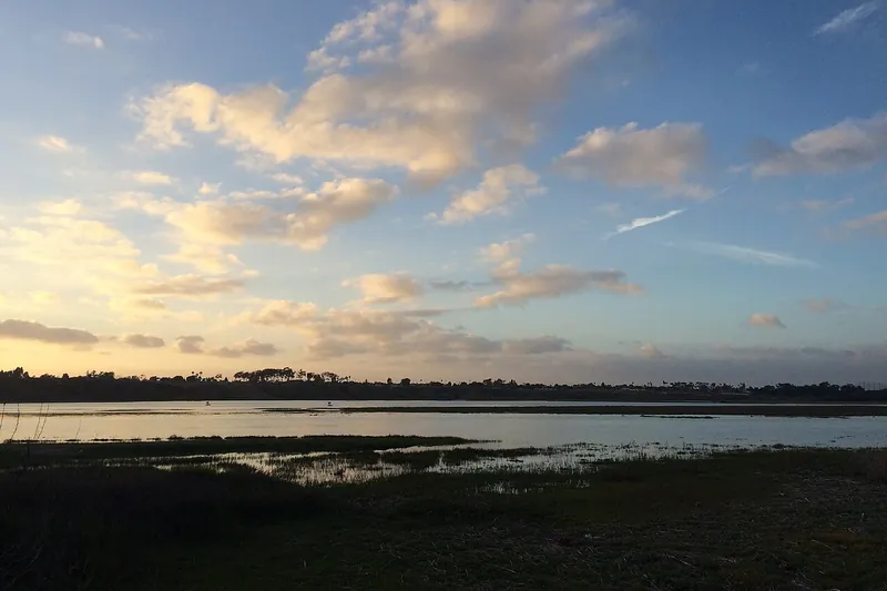
Photo: Sergei Gussev, CC BY 2.0
#5 · Bike trail · 49 min southeast
Newport Back Bay Loop
Paved and dirt trails around a wildlife reserve with wetlands and birds.
Heads-up: Little shade. Bring water. CDFW Upper Newport Bay reserve; leashed dogs only, no horses.
Plan my day
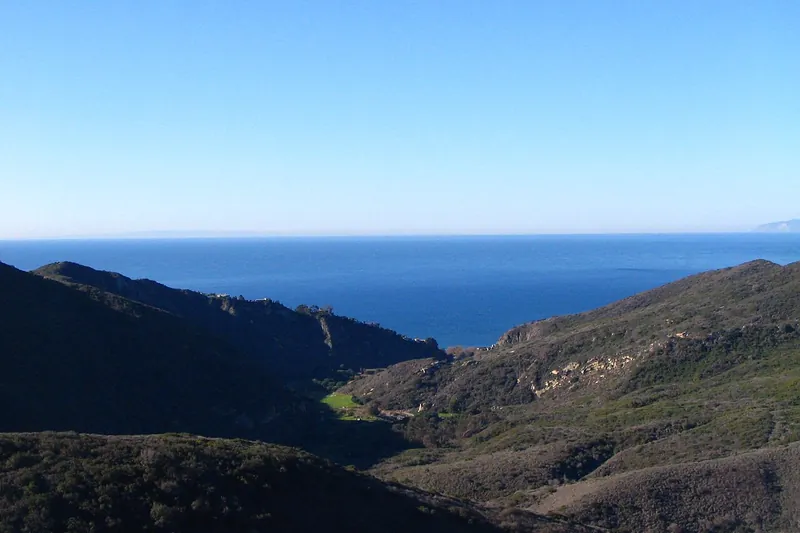
Photo: Themaeeandhisfriend, Public domain
#6 · Hike · 54 min southeast
Aliso and Wood Canyons Wilderness Park
Trails and mountain bike routes close to the beach, with canyon and ridge views.
- 2-4 hrs
- Year-round
- See the official site for current fees
Heads-up: Hot in summer. Rattlesnakes (confirm before you go). OC Parks; 7am to sunset; no dogs; parking fee.
Plan my day
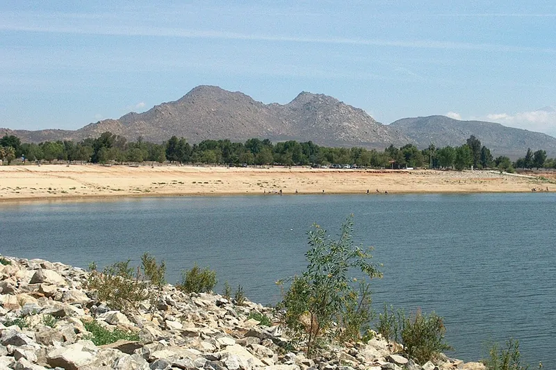
Photo: Summit Hopper, CC BY 2.0
#7 · Swimming · 1 hr 13 min east
Lake Perris State Recreation Area
A big lake with a swim beach, boating, a bike path and rocky climbing.
- Full day
- Year-round; swimming in summer
- California State Parks day-use fee per car
Heads-up: Summer heat. Check beach hours and water quality. Open; some east-end closures on select Thursdays for waterfowl hunting (Nov 5, 12, 19)
Plan my day
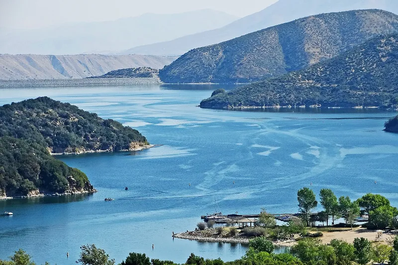
Photo: inkknife_2000 (7.5 million views +), CC BY-SA 2.0
#8 · Lake · 1 hr 15 min east
Silverwood Lake State Recreation Area
A mountain reservoir with a swim beach, fishing and a paved bike trail.
- Half day
- Year-round
- California State Parks day-use fee per car
Heads-up: Check for fire or road closures. Swimming is limited to summer. Open; algae advisory at Sawpit Beach (no swimming); winter hours 7 AM to 7 PM
Plan my day
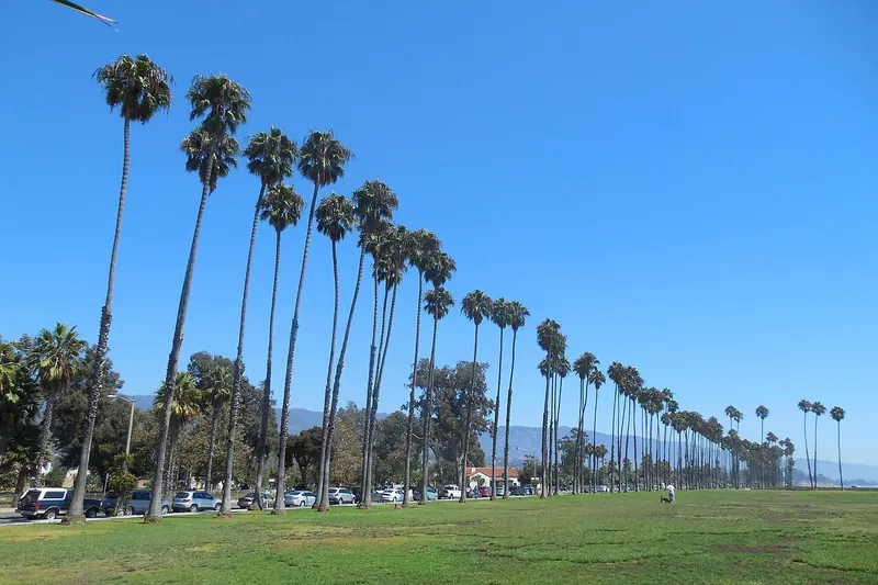
Photo: Niranjan Arminius, CC BY-SA 4.0
#9 · Beach · 1 hr 31 min west
East Beach Santa Barbara
Wide sandy beach near the harbor with volleyball, a bike path and a Cabrillo Bathhouse.
Heads-up: Lifeguards in summer only.
Plan my day
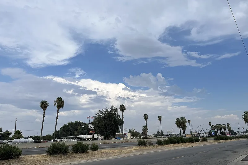
Photo: Rschen7754, CC BY-SA 4.0
#10 · Bike trail · 1 hr 46 min northwest
Kern River Parkway Trail
A paved path along the Kern River in Bakersfield, good for biking and walking.
Heads-up: Hot in summer. City of Bakersfield parkway and bike trail.
Plan my day
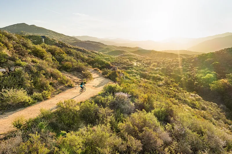
Photo: Mark Skovorodko, CC BY-SA 4.0
#11 · Hike · 1 hr 51 min southeast
Daley Ranch
Rolling oak and grass hills above Escondido with wide trails for hikers and mountain bikers.
- 2-4 hrs
- Year-round
- See the official site for current fees
Heads-up: Hot in summer. Closed on very windy or high fire days. Open dawn to dusk; 25+ miles of trails.
Plan my day
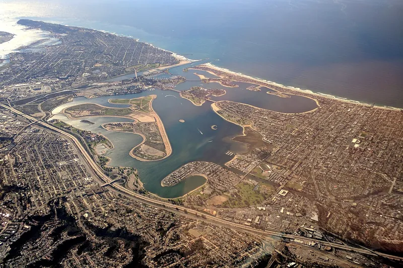
Photo: Alfred Twu, CC0
#12 · Beach · 1 hr 54 min southeast
Mission Bay Park
A huge bayside park with calm water, bike paths and picnic lawns.
Heads-up: Summer crowds.
Plan my day