Photo: wilson44691, CC0
#1 · National park
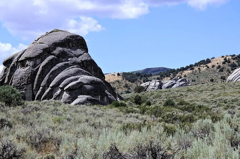
City of Rocks National Reserve
Granite spires and domes up to 60 stories tall, world-class climbing, and names California Trail emigrants wrote on the rocks in wagon grease.
- Half day
- Best May to October (open year-round)
- Free
Place details
Official site
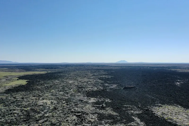
Photo: BroMcjoe, CC BY-SA 4.0
#2 · National monument
Craters of the Moon National Monument and Preserve
A huge, strange lava field with a 7-mile loop road past cinder cones, spatter cones and lava tubes you can walk into with a flashlight.
- Half day
- Best May to October (Loop Road not fully open about November to April)
- NPS entrance fee (per vehicle) or America the Beautiful pass (waived when the Loop Road isn't fully open)
Place details
Official site
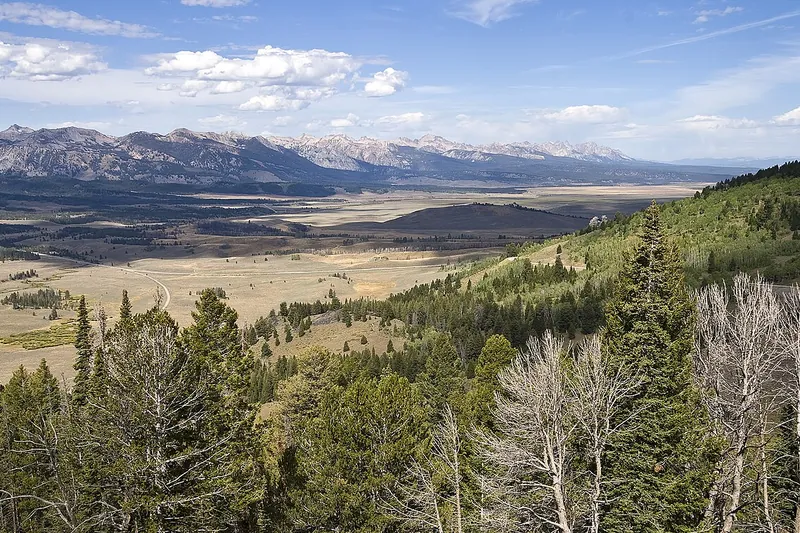
Photo: Acroterion, CC BY-SA 4.0
#3 · Viewpoint
Galena Summit
From the overlook just below the 8,701-foot pass you look down on the headwaters of the Salmon River and the whole Sawtooth Valley.
Place details
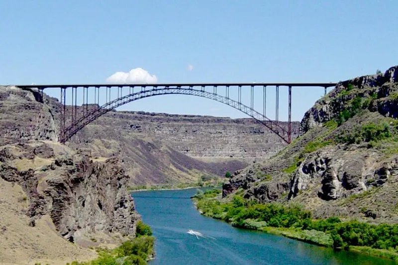
Photo: Daniel Mayer, CC BY-SA 3.0
#4 · Landmark
Perrine Bridge
A 1,500-foot steel bridge almost 500 feet above the Snake River, one of the few places in the US where BASE jumpers leap legally, with canyon overlooks by the visitor center.
Place details
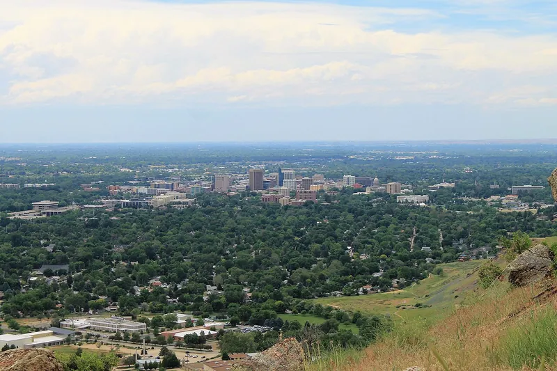
Photo: Rickmouser45, CC BY-SA 4.0
#5 · Viewpoint
Table Rock
A short, steep foothills climb to a cross-topped mesa looking over all of Boise, best at sunset.
- 1-2 hrs
- Year-round (best spring and fall)
- Free
Place details
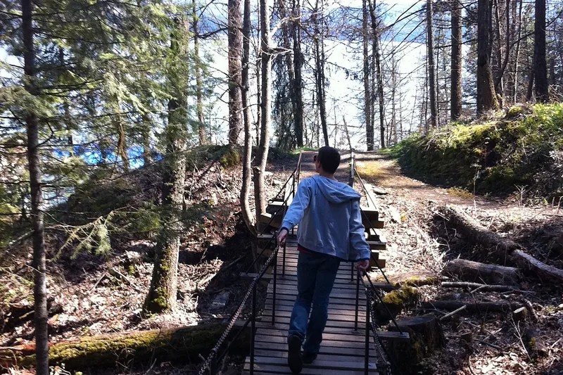
Photo: Mkennedystudios, CC BY-SA 4.0
#6 · Trail
Tubbs Hill
A wooded hill right beside downtown Coeur d'Alene, with a loop path along the shoreline past small coves and rocky lookouts over the lake.
Place details
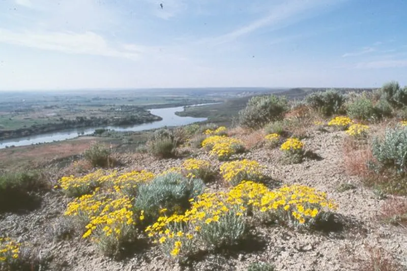
Photo: NPS photo, Public domain
#7 · National monument
Hagerman Fossil Beds National Monument
A visitor center shows fossils of the Hagerman horse and other Ice Age animals; nine miles away, overlooks and a 3-mile trail follow the Snake River bluffs and Oregon Trail ruts.
- 2-3 hrs
- Year-round (visitor center open fewer days off-season; check)
- Free
Official site
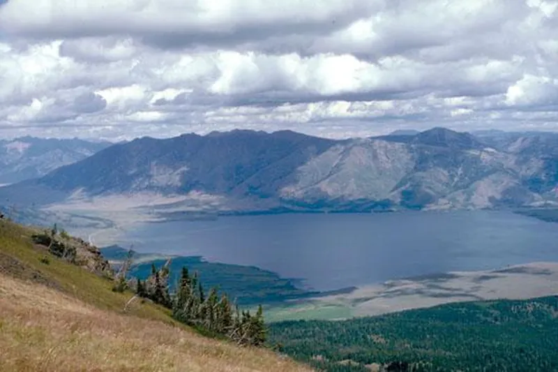
Photo: Idaho Parks, CC BY-SA 3.0
#8 · Lake
Henrys Lake State Park
A high mountain lake near the Montana line known for big trout, with wide views of the Centennial Mountains and a short trail.
- 1-3 hrs
- Best June to September (open in winter for ice fishing)
- Idaho State Parks entrance fee (per vehicle) or Idaho State Parks Passport
Official site
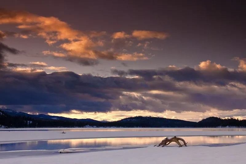
Photo: Charles Knowles from Meridian Idaho, USA, CC BY 2.0
#9 · State park
Ponderosa State Park
A forested peninsula in Payette Lake with beaches, bike trails and the Osprey Point view, plus groomed ski trails in winter.
- Half day
- Year-round
- Idaho State Parks entrance fee (per vehicle) or Idaho State Parks Passport
Official site
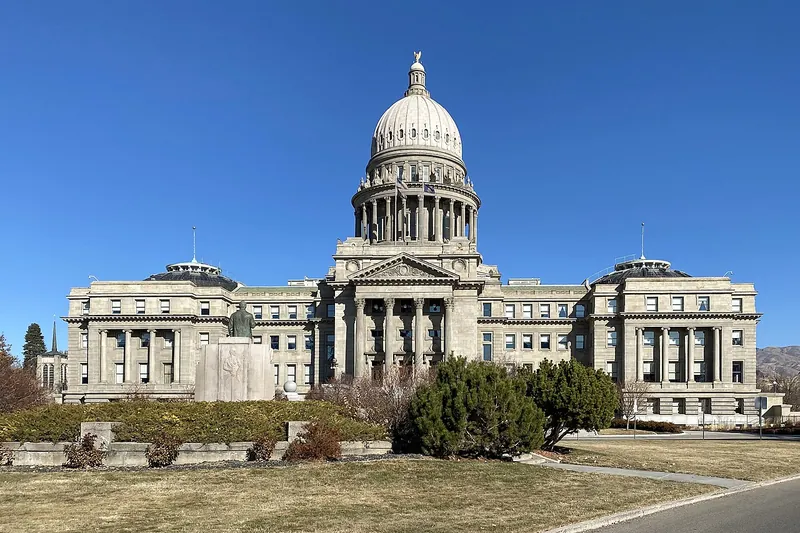
Photo: Quintin Soloviev, CC BY 4.0
#10 · Landmark
Idaho State Capitol
A sandstone capitol heated by geothermal water, with a marble rotunda and exhibits on how Idaho works.
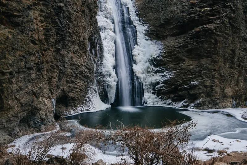
Photo: Nroslm, CC BY 3.0
#11 · Waterfall
Jump Creek Falls
A short walk up a narrow rhyolite canyon ends at a 60-foot waterfall with a pool, with a second path to an overlook.
- 1-2 hrs
- Year-round (best spring)
- BLM day-use fee
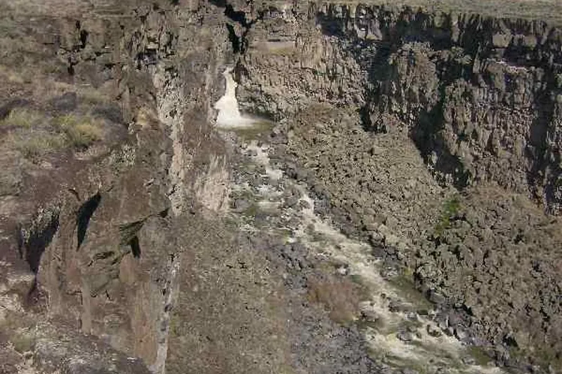
Photo: photophat, CC BY 3.0
#12 · Canyon
Malad Gorge
A 250-foot-deep slot gorge right off I-84, with a footbridge over the Devil's Washbowl falls and rim paths along the canyon.
- 1-2 hrs
- Year-round
- Idaho State Parks entrance fee (per vehicle) or Idaho State Parks Passport
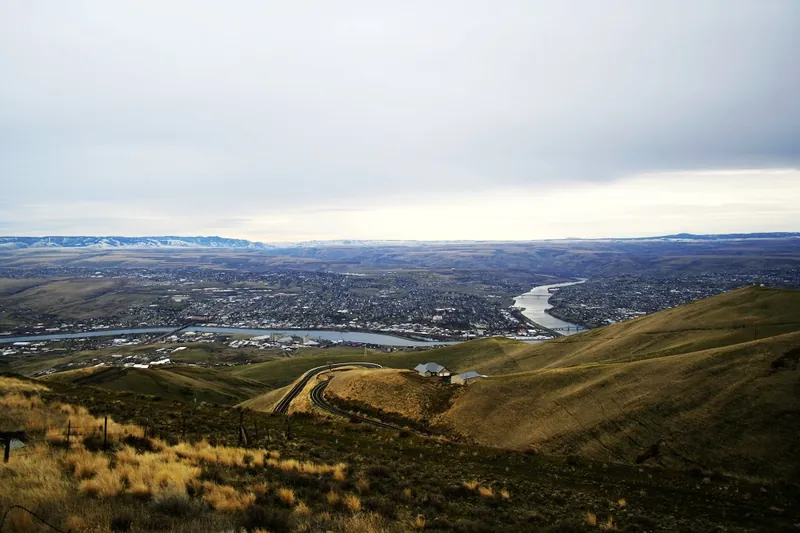
Photo: Iidxplus at English Wikipedia, CC BY-SA 3.0
#13 · Scenic drive
Old Spiral Highway
The original 1917 road up Lewiston Hill, with dozens of hairpins in about 7 miles and big views over the meeting of the Snake and Clearwater rivers.
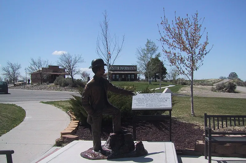
Photo: Maitra, CC BY 3.0
#14 · Trail
Snake River Canyon Rim Trail
A paved path of about 7.6 miles along the canyon rim with views of the Perrine Bridge, Pillar Falls and Shoshone Falls; easy to walk just a piece of it.
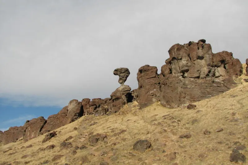
Photo: XJRW, CC BY-SA 4.0
#15 · Landmark
Balanced Rock
A 48-foot mushroom-shaped rock balanced on a tiny base above Salmon Falls Creek canyon, with a short, steep path up to it.
- 1 hr
- Best April to October
- Free
- Confirm fees and hours before you go
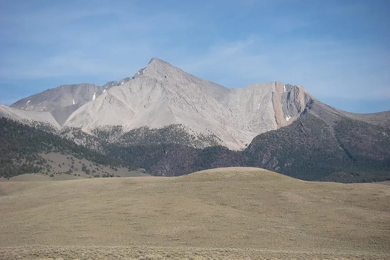
Photo: Leaflet, Public domain
#16 · Trail
Borah Peak
Idaho's highest summit, a brutal 5,262-foot climb across the exposed knife edge called Chicken Out Ridge.
- Full day
- Best early July to mid-August
- Free
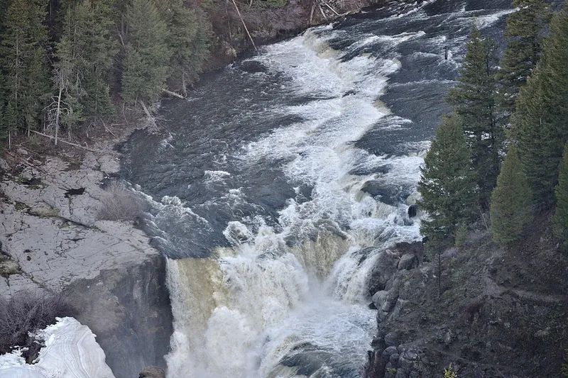
Photo: Dschwen, CC BY-SA 4.0
#17 · Waterfall
Lower Mesa Falls
A roadside overlook on the Mesa Falls Scenic Byway where the Henrys Fork crashes through a canyon of volcanic rock.
- 30 min to 1 hr
- Usually late May to October (snow closes the road in winter)
- Free
- Confirm fees and hours before you go
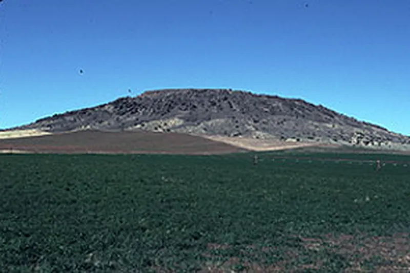
Photo: National Park Service, Public domain
#18 · Trail
Menan Buttes
A steep climb up North Menan Butte, one of the world's largest tuff cones, to a rim with views over the Snake River plain to the Tetons.
- 2-3 hrs
- Best April to June and September to October
- Free
#19 · Ski area
Schweitzer
In summer a scenic chairlift rises to Lake Pend Oreille views, short walking loops, disc golf and lunch at the top; in winter it's a full ski hill.
- Half day
- Summer lift about mid-June to early September; ski season in winter
- Admission
Official site
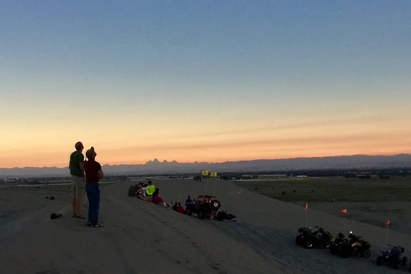
Photo: BLMIdaho, Public domain
#20 · Landmark
St. Anthony Sand Dunes
White quartz dunes up to 400 feet tall in the middle of farm country, for ATVs, sandboarding and sunset hikes.
- Half day
- Best May to October
- BLM day-use fee
- Confirm fees and hours before you go
Box Canyon Springs, Lake Coeur d'Alene Scenic Byway, Lemhi Pass, Mineral Ridge, Northwest Passage Scenic Byway, Payette River Scenic Byway, Pulaski Tunnel Trail, Soda Springs Geyser, Stanley Lake, White Bird Battlefield