Photo: Beyond My Ken, CC BY-SA 4.0
State park · 46 min east
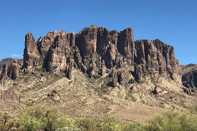
Lost Dutchman State Park
Trails at the foot of the Superstition Mountains, gold with wildflowers in a good spring.
- 2-3 hrs
- Fall to spring
- State park entrance fee
Day Trippin' › Arizona › From Phoenix › Within 4 hours
128 places are worth the drive within 4 hours of Phoenix, counted by road time from ZIP 85004: 3 under 1 hour, 51 1 to 2 hours, 44 2 to 3 hours and 30 3 to 4 hours.
The mix leans toward history, hikes and mountains & views, mostly to the north and southeast. Four hours each way is weekend territory: most of these work best with a night away, so check the places to stay on the state page.
The headline places are Vulture City, Montezuma Castle National Monument and Watson Lake, and the closest real day trip is Taliesin West (33 min).
Under 1 hour 1 to 2 hours 2 to 3 hours 3 to 4 hours
Photo: Beyond My Ken, CC BY-SA 4.0
State park · 46 min east
Trails at the foot of the Superstition Mountains, gold with wildflowers in a good spring.
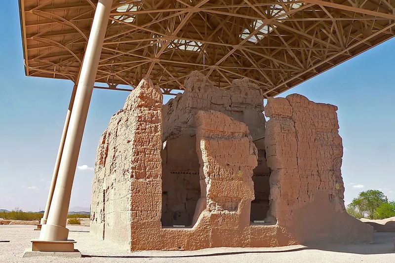
Photo: Greg Hume, CC BY-SA 3.0
National monument · 53 min southeast
See the four-story adobe Great House that Ancestral Sonoran Desert People built about 700 years ago, now under a large protective roof.
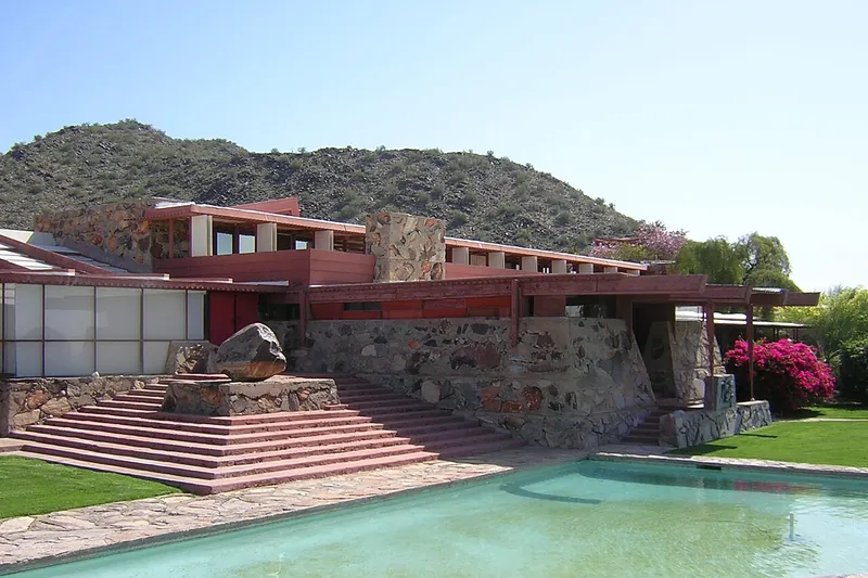
Photo: Lar (primary) User:Lar (secondary), Public domain
Landmark · 33 min northeast
Frank Lloyd Wright's winter home and studio in the desert foothills, seen on a guided tour.
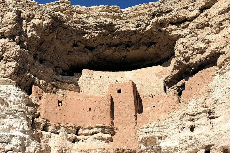
Photo: Beyond My Ken, CC BY-SA 4.0
National monument · 1 hr 25 min north
A five-story Sinagua cliff dwelling tucked in a limestone cliff above Beaver Creek.
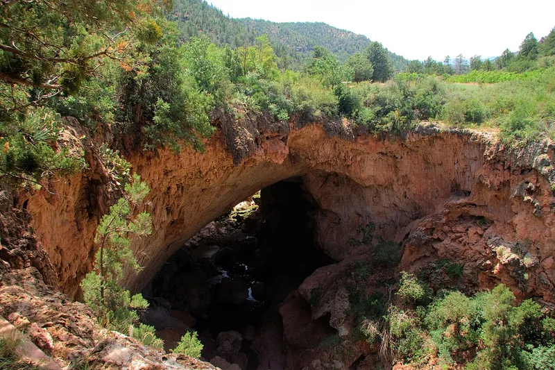
Photo: ksblack99, Public domain
State park · 1 hr 47 min northeast
What may be the world's largest travertine natural bridge, with trails down to the creek below it.
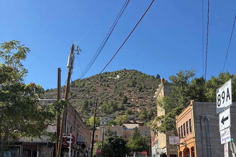
Photo: Seasider53, CC BY 4.0
Town · 1 hr 47 min north
A former copper boomtown hanging off Cleopatra Hill, now full of galleries, tasting rooms and views.
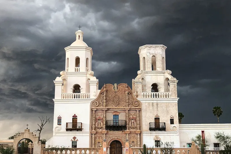
Photo: Keyany, CC BY-SA 4.0
Historic site · 1 hr 47 min southeast
A white mission church from the late 1700s, still in use, with a richly painted and carved interior; people call it the White Dove of the Desert.
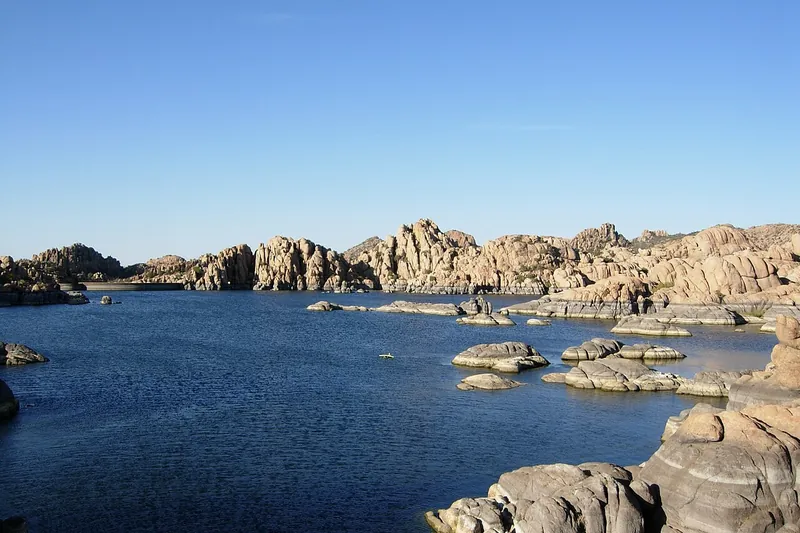
Photo: Benjamin Cody, CC BY-SA 3.0
Lake · 1 hr 38 min north
A lake in the Granite Dells, a maze of rounded boulders great for paddling and scrambling.
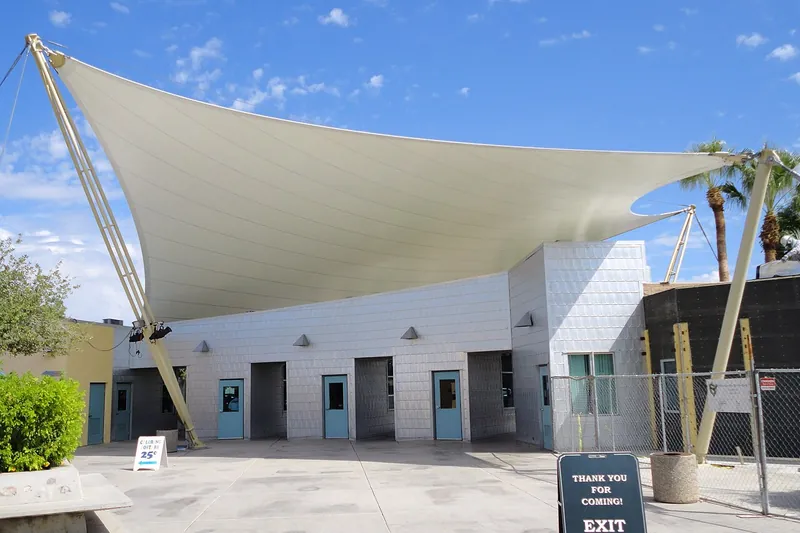
Photo: M.Fitzsimmons, CC BY-SA 3.0
Zoo · 1 hr 44 min southeast
A friendly, easy-to-walk city zoo with elephants, giraffes and big cats, a good fit for families with young kids.
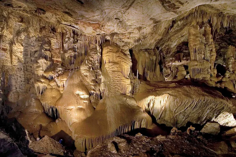
Photo: Mike Lewis, CC BY-SA 4.0
Cave · 2 hr 23 min southeast
Take a guided walk through a living limestone cave that is still wet and growing, with formations so fragile the cave stayed secret for years after it was found.
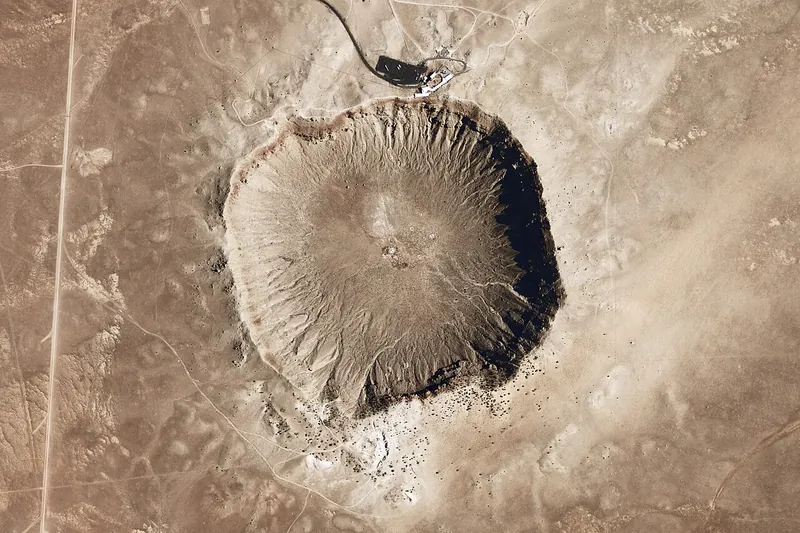
Photo: National Map Seamless Server, Public domain
Landmark · 2 hr 43 min northeast
A nearly mile-wide crater left by a meteorite 50,000 years ago, with a museum on the rim.
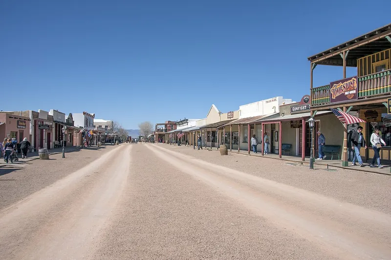
Photo: Gillfoto, CC BY-SA 4.0
Town · 2 hr 47 min southeast
Walk the wooden boardwalks of Allen Street in the 1880s silver boomtown made famous by the Earps, then step into the 1882 county courthouse, now a museum, for the town's real story.
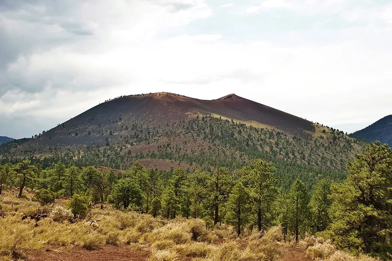
Photo: Mikesanchez1109, CC BY-SA 3.0
National monument · 2 hr 29 min north
Walk lava flows and cinder fields at the foot of a volcano that erupted around 1085.
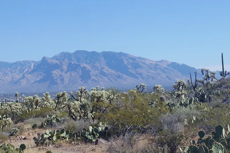
Photo: WClarke, CC BY-SA 4.0
Scenic drive · 2 hr 50 min southeast
Climb from saguaro desert to pine forest in about an hour, with big viewpoints like Windy Point on the way up and pie and cabins in tiny Summerhaven near the top.
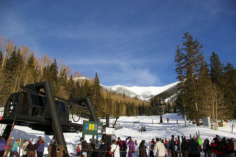
Photo: Frederick Dennstedt from los angeles, usa, CC BY-SA 2.0
Ski area · 2 hr 30 min north
Ski in winter; in summer and fall ride the scenic gondola up the San Francisco Peaks to an overlook near 12,000 feet.
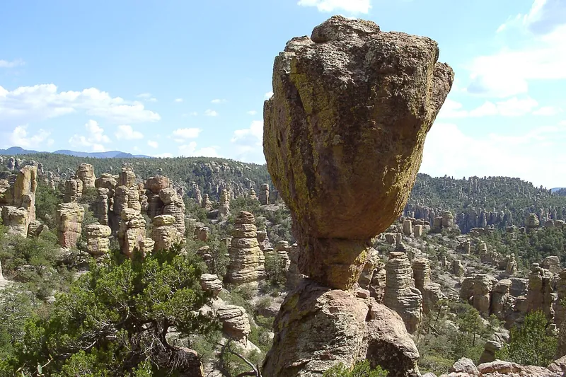
Photo: Pretzelpaws, CC BY-SA 3.0
National park · 3 hr 25 min southeast
Drive Bonita Canyon up to Massai Point and look out over a forest of stone spires, then hike down among them on the Echo Canyon trail. America's newest national park (October 2026).
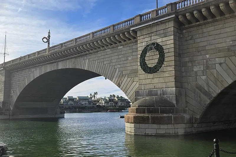
Photo: Guninvalid, CC0
Landmark · 3 hr 6 min northwest
Walk across the 1831 granite bridge that was taken apart in London, numbered stone by stone and rebuilt over a channel in the desert, then stroll the Bridgewater Channel waterfront.
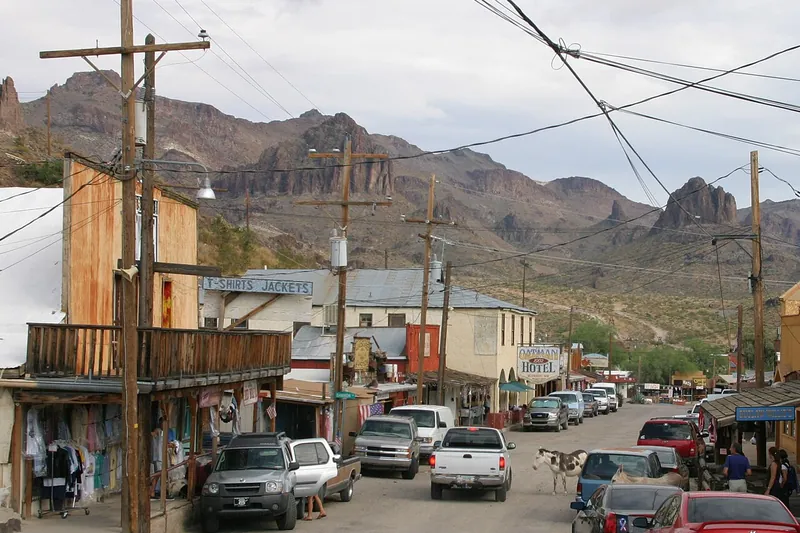
Photo: Pretzelpaws [1], CC BY-SA 3.0
Town · 3 hr 49 min northwest
Drive the steep, twisting old Route 66 over Sitgreaves Pass to a gold-mining town where wild burros wander the main street.
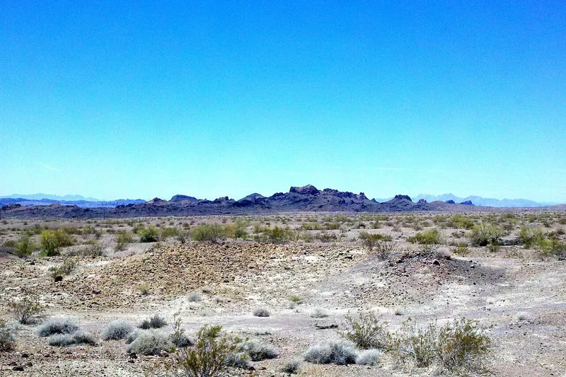
Photo: CWanamaker, CC BY 3.0
State park · 3 hr 3 min northwest
A lakeside park near the bridge with sandy beaches, boat ramps, kayak rentals and the 1.75-mile Mohave Sunset Trail along the shore.
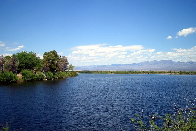
Photo: Kfasimpaur, Public domain
Lake · 3 hr 6 min east
A small lake at the foot of Mount Graham for an easy picnic, a swim from the sandy beach, fishing or a walk, with the Pinaleños towering behind.
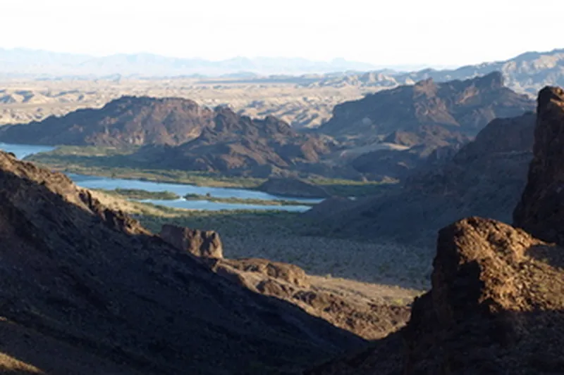
Photo: USFWS, Public domain
Wildlife · 3 hr 22 min northwest
Paddle or boat through Topock Gorge, a narrow red-rock canyon on the Colorado River with bighorn sheep and herons, or walk the short shoreline trails.
Our picks, by drive time, include Lost Dutchman State Park (46 min), Casa Grande Ruins National Monument (53 min), Taliesin West (33 min), Montezuma Castle National Monument (1 hr 25 min) and Tonto Natural Bridge State Park (1 hr 47 min). The full list on this page has 128 places, each with its drive time and direction from Phoenix.
54 places within 2 hours, 98 within 3 hours and 128 within 4 hours of Phoenix, by road from ZIP 85004.
37 of the 128 places need no pass or fee, such as Seligman, Williams and Downtown Flagstaff and Route 66. Fees and passes change, so check each place before you go.
115 places are marked good for kids, including Bearizona, Desert View Watchtower and Grand Canyon Railway.
They are by real roads on a typical day, from the middle of ZIP 85004 to each place (OpenStreetMap data with the OSRM route planner). Traffic, weather and closures can change them. Places under 25 minutes from the city center count as in town, not a day trip, so they are left out.
Yes. Type your ZIP code into Day Trippin' and it shows everything by drive time. Your ZIP is used for that one search and is not saved.

Drive times are by road on a typical day from ZIP <class 'zip'> (OpenStreetMap data with the OSRM route planner). Facts checked against official sites; passes and hours change, so check before you go.