Photo: ksblack99, Public domain
#1 · State park · 1 hr 47 min northeast
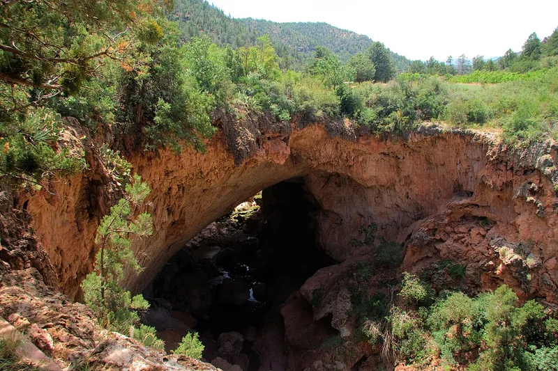
Tonto Natural Bridge State Park
What may be the world's largest travertine natural bridge, with trails down to the creek below it.
- 2 hrs
- Year-round (closed Christmas)
- State park entrance fee
Heads-up: Right now the Pine Creek and Anna Mae trails and the area under the bridge are closed after flooding; the Waterfall and Gowan trails and the top of the bridge are open. Trails are steep. No dogs on…
Plan my day
Official site
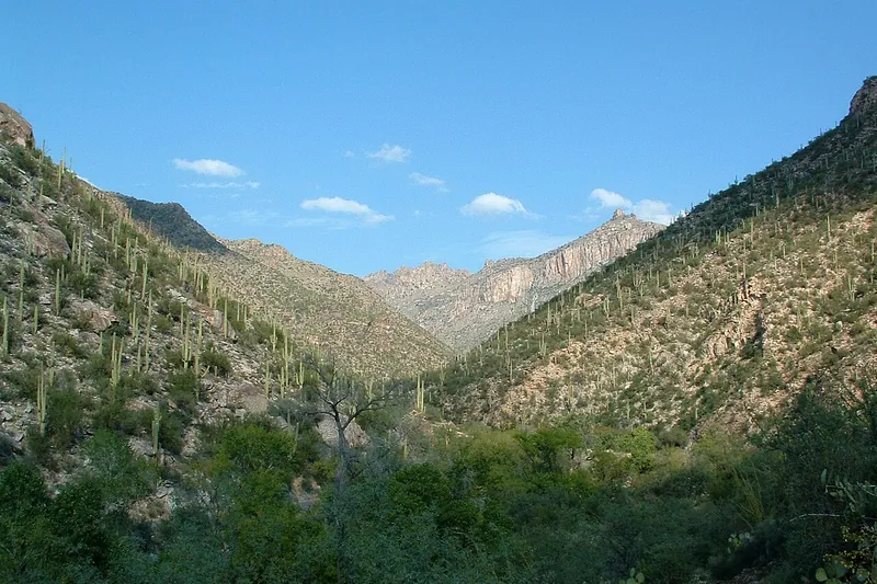
Photo: Lee Adlaf from Birmingham, AL, USA, CC BY 2.0
#2 · Canyon · 1 hr 51 min southeast
Sabino Canyon Recreation Area
A green desert canyon with a creek, pools and saguaro slopes. Ride the narrated shuttle up the canyon road, then walk back down or hike from the top stops.
- Half day
- Best October to April; summer mornings only
- Coronado day-use fee (per vehicle) or America the Beautiful pass; shuttle ticket extra
Heads-up: The Sabino Canyon Crawler shuttle was suspended on November 2, 2026 after flooding, so check before you go. No dogs anywhere in the area (service animals are OK).
Plan my day
Official site
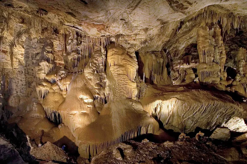
Photo: Mike Lewis, CC BY-SA 4.0
#3 · Cave · 2 hr 23 min southeast
Kartchner Caverns State Park
Take a guided walk through a living limestone cave that is still wet and growing, with formations so fragile the cave stayed secret for years after it was found.
- 2-3 hrs
- Year-round; Big Room tour only October 15 to April 15
- State park entrance fee (per vehicle), waived with a cave tour ticket; cave tours ticketed separately (reserve ahead)
Heads-up: Book tours online, up to a year ahead. No phones or cameras in the cave (lockers on site), kids under 7 can't take the Big Room tour, and no strollers or walkers underground. I-10 construction can…
Plan my day
Official site
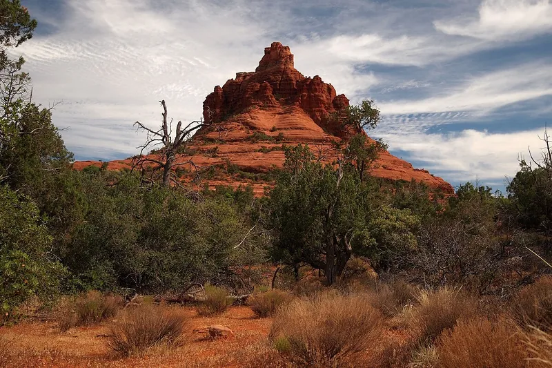
Photo: Ken Thomas, Public domain
#4 · Trail · 1 hr 39 min north
Bell Rock and Courthouse Butte
Easy loop around two big red rock buttes right off the highway, with as much or as little climbing as you like.
- 1-2 hrs
- Year-round
- Red Rock Pass or America the Beautiful pass
Heads-up: Little shade; carry water, especially in summer.
Plan my day
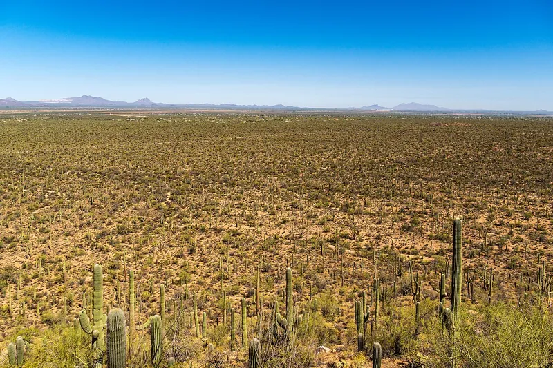
Photo: dconvertini, CC BY-SA 2.0
#5 · National park · 1 hr 42 min southeast
Saguaro National Park West
The graded dirt Bajada Loop runs through some of the thickest saguaro forest anywhere, with a short climb at Signal Hill to boulders covered in ancient Hohokam rock carvings.
- 2-3 hrs
- Best October to April; summer mornings only
- NPS entrance fee (per vehicle, 7 days, covers both districts) or America the Beautiful pass
Heads-up: The Bajada Loop is unpaved but fine for regular cars, and closes to vehicles from dusk to dawn. Dogs can go on the loop road and the paved Desert Discovery Trail, but not on the Signal Hill path.
Plan my day
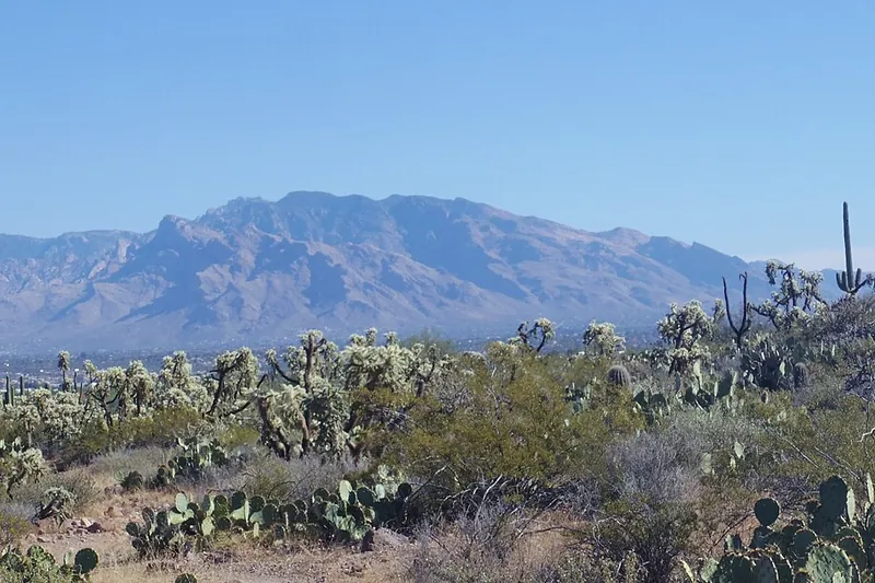
Photo: WClarke, CC BY-SA 4.0
#6 · Scenic drive · 2 hr 50 min southeast
Mount Lemmon and the Catalina Highway
Climb from saguaro desert to pine forest in about an hour, with big viewpoints like Windy Point on the way up and pie and cabins in tiny Summerhaven near the top.
- Half day to full day
- Year-round; summer escape from the heat; winter can bring snow
- Free to drive; Coronado day-use fee (per vehicle) or America the Beautiful pass at fee picnic areas and trailheads
Heads-up: The road is narrow and curvy, and it can close or require chains in storms; check the Pima County Sheriff road line before winter trips. It is about 25 degrees cooler on top, so bring layers.
Plan my day
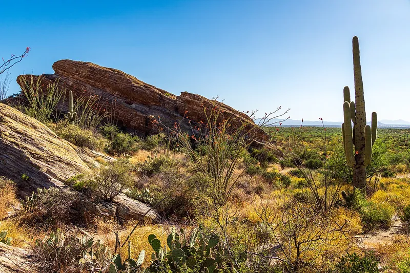
Photo: dconvertini, CC BY-SA 2.0
#7 · National park · 2 hr southeast
Saguaro National Park East
Drive the paved 8-mile Cactus Forest Loop through thick stands of giant saguaros below the Rincon Mountains, with pull-offs and short walks on the way.
- 2-3 hrs
- Best October to April; summer mornings only
- NPS entrance fee (per vehicle, 7 days, covers both districts) or America the Beautiful pass
- Confirm fees and hours before you go
Heads-up: The park takes cards only, no cash. Loop drive hours differ between NPS pages, and long rigs (40 ft combined, or wider than 8.5 ft) are not allowed on the loop.
Plan my day
Official site
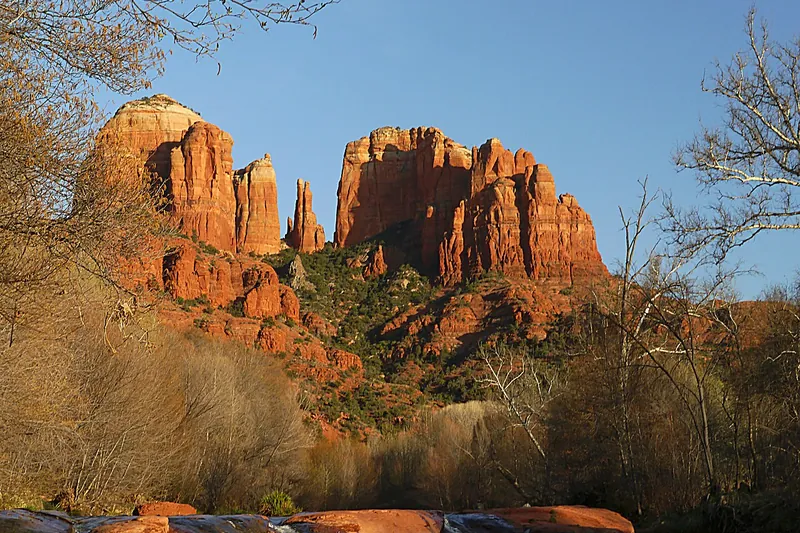
Photo: Terrydarc, CC BY-SA 3.0
#8 · Trail · 1 hr 45 min north
Cathedral Rock
A short, steep scramble up slickrock to a saddle between Sedona's most famous red rock spires.
- 1.5-2 hrs
- Year-round; summer mornings only
- Red Rock Pass or America the Beautiful pass
Heads-up: When the free Sedona Shuttle runs (usually Thursday to Sunday) the trailhead lot is closed to cars, so ride the shuttle. Not for anyone uneasy with heights.
Plan my day
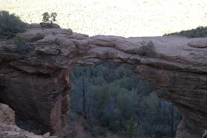
Photo: davidpinter, CC BY 3.0
#9 · Trail · 1 hr 57 min north
Devil's Bridge
Walk out onto Sedona's largest natural sandstone arch for a classic photo.
- 2-3 hrs
- Year-round
- Red Rock Pass or America the Beautiful pass
Heads-up: Expect a line for photos on the arch at busy times. The dirt road to the closest lot needs high clearance; most people park at Dry Creek Vista or Mescal trailhead (both served by the free Sedona…
Plan my day
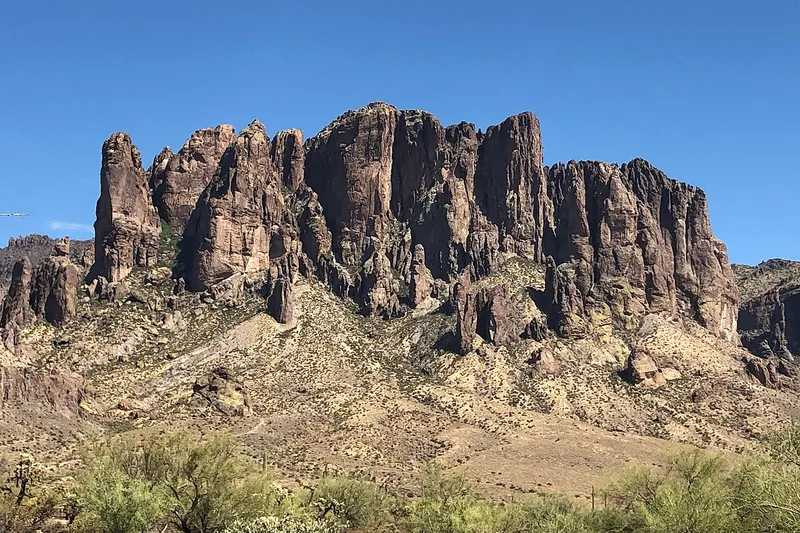
Photo: Beyond My Ken, CC BY-SA 4.0
#10 · State park · 46 min east
Lost Dutchman State Park
Trails at the foot of the Superstition Mountains, gold with wildflowers in a good spring.
- 2-3 hrs
- Fall to spring
- State park entrance fee
Heads-up: Very hot in summer; hike early. Leashed dogs welcome on all trails. No walk-in entry or hiker drop-off; drive in.
Plan my day
Official site
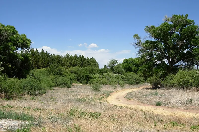
Photo: Benjamin Cody, CC BY-SA 3.0
#11 · State park · 1 hr 43 min north
Dead Horse Ranch State Park
Lagoons, cottonwoods and trails along the Verde River, good for birding, fishing and easy walks.
- 2-3 hrs
- Year-round
- State park entrance fee (per vehicle)
Heads-up: Gates close at dark.
Plan my day
Official site
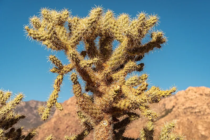
Photo: dconvertini, CC BY-SA 2.0
#12 · State park · 1 hr 45 min southeast
Catalina State Park
Hike and bird among saguaros at the foot of the Santa Catalina Mountains, with easy loops and longer canyon trails from the same trailheads.
- Half day
- Best October to April; summer mornings only
- State park entrance fee (per vehicle)
Heads-up: The park reopened after flooding on November 1, 2026; watch for water in the washes and eroded trails. Wash-crossing construction runs until May 2027. Leashed dogs OK, but not in the Pusch Ridge…
Plan my day
Official site
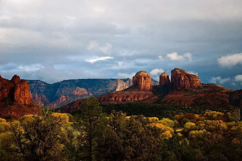
Photo: Wendy from Pennsylvania, USA, CC BY-SA 2.0
#13 · State park · 1 hr 55 min north
Red Rock State Park
Easy trails along Oak Creek with red rock views and a visitor center.
- 2-3 hrs
- Year-round
- State park entrance fee (per person)
Heads-up: No pets and no swimming in the park.
Plan my day
Official site
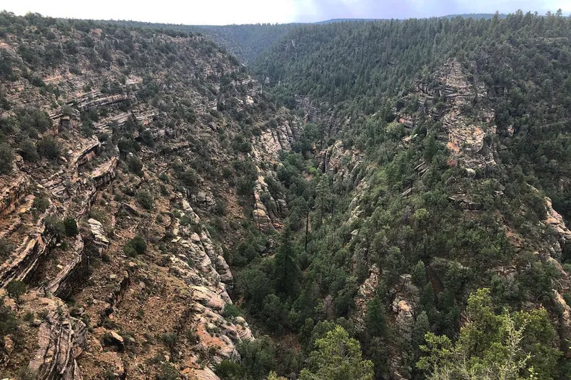
Photo: William Wadas, CC BY-SA 4.0
#14 · National monument · 2 hr 15 min north
Walnut Canyon National Monument
A stairway trail down to cliff dwellings tucked into ledges of a forested canyon.
- 1-2 hrs
- Year-round
- NPS entrance fee (card only)
Heads-up: The Island Trail drops 185 feet by about 240 steps you climb back up, and may close for snow or ice. Dogs on the Rim Trail only.
Plan my day
Official site
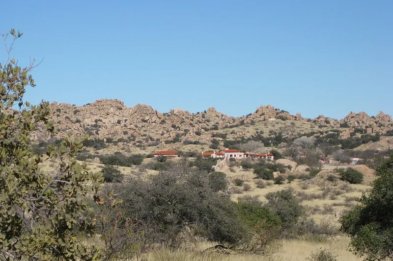
Photo: https://www.flickr.com/photos/wablair/, CC BY 2.0
#15 · Museum · 2 hr 30 min southeast
Amerind Museum
A quiet museum and art gallery among the giant boulders of Texas Canyon, with Native American art and artifacts from across the Americas, plus nature trails in season.
- 2-3 hrs
- Museum year-round; trails early September to late April
- Admission (museum; museum-and-trail combo tickets)
Heads-up: Open Tuesday to Sunday 10 to 4, closed Mondays and major holidays. Trail users check in at the museum and sign a waiver. No dogs except service animals.
Plan my day
Official site