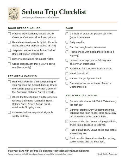
Three days is the sweet spot for a first trip to Sedona: enough time for the big-name red rocks, a cool creek, and a sunset or two, without spending the whole visit in a car. This plan keeps the walking manageable, builds in the long midday break the desert asks for, and leaves room to slow down.
Before you go
- Getting there: Phoenix is about a two-hour drive. Flagstaff Pulliam Airport is closer, about 26 miles north, down through Oak Creek Canyon. Prefer not to drive from the airport? Phoenix Sky Harbor lists intercity shuttles, or you can book a private transfer with GetTransfer Affiliate link.
- Plan around the free shuttle: the Sedona Shuttle runs Thursday to Sunday, 7:00 a.m. to 5:30 p.m., from free Park & Ride lots to five trailheads, including Cathedral Rock and Soldier Pass. While it runs, those two trailhead lots are closed to private cars. A Thursday-to-Sunday trip makes the busiest hikes easy.
- Parking passes: a Red Rock Pass or an America the Beautiful pass covers parking at many Forest Service trailheads, like Bell Rock and Boynton Canyon. Crescent Moon and Grasshopper Point charge their own day fee instead.
Day 1: the classic first day
Start early at the Courthouse Vista trailhead on SR 179 for the Courthouse Butte Loop, a moderate 3.8-mile loop around Bell Rock and Courthouse Butte (about 2.5 hours). Then head five minutes south to the Village of Oak Creek for breakfast and shade.
Late morning, drive north on the Red Rock Scenic Byway toward town, stopping at the viewpoints. Spend the hottest part of the day indoors; the Uptown visitor center has maps and passes. In the afternoon, wade the creek at Crescent Moon / Red Rock Crossing, right under Cathedral Rock (check seasonal hours). Finish at the Airport Mesa viewpoints for sunset, and arrive about 45 minutes early, because the small lots fill fast.
Sedona is a Dark Sky Community, so save some energy for the night.
Day 2: Cathedral Rock and a canyon drive
Park free at the North SR 179 Park & Ride and take shuttle Route 15 to Cathedral Rock. It's only 1.1 miles round trip, but the Forest Service rates it strenuous: the upper half is a hands-and-feet scramble on slickrock. Wear shoes with real grip and turn around anywhere it feels beyond you. Go early for cooler air and softer light.
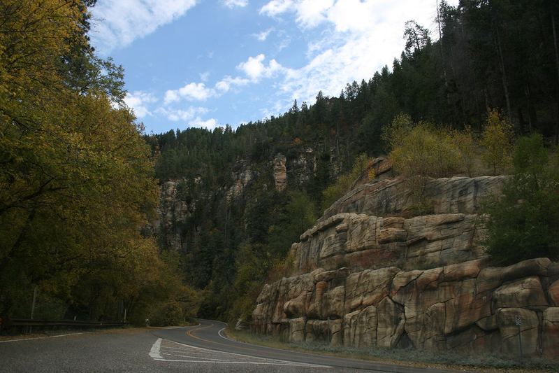
After a long midday break, drive north on SR 89A through Oak Creek Canyon to the Oak Creek Vista overlook at 6,437 feet, then come back down with stops at the pull-outs. If you want water, Grasshopper Point is a good picnic and creek spot (day fee; check swim conditions after storms).
Day 3: Boynton Canyon and a dark sky
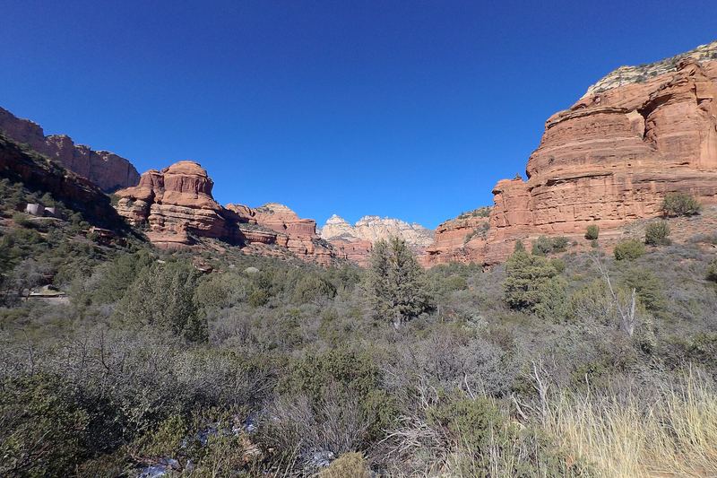
Be at the Boynton Canyon trailhead on Dry Creek Road around 7:00. There's no shuttle here, so arriving early is how you get a parking spot. The trail is 6 miles out and back and rated moderately challenging. If that's more than you want, Fay Canyon, five minutes away, is an easy 2.1-mile round trip.
Sedona is a Dark Sky Community, so save some energy for the night. Find a dark pull-out away from town lights, let your eyes adjust for 20 minutes, and look up. If you'd rather have a guide, see our hand-picked Sedona tours.
Swap in if you can
- Palatki Heritage Site: ancient cliff dwellings and rock art, with timed tickets on Recreation.gov released 120 days ahead. The last stretch is a dirt road.
- Soldier Pass: a moderate 4-mile round trip, also on the Thursday-to-Sunday shuttle (Route 14 from Posse Grounds).
Heat and safety
Carry more water than you think you need, start hikes early, and spend afternoons in the shade, especially in summer. Desert mornings can be cold much of the year, so bring a warm layer. Check the Coconino National Forest alerts before you go; trails and roads close after storms.
Plan it
- Our Sedona itineraries, with every stop above, that you can add to a trip in one tap
- Sedona Shuttle, parking passes and reservations
- Build your Sedona trip in our free Trip Planner, no account needed
- See the best Sedona tours: guided hikes, scenic drives and Grand Canyon day trips
Facts from our Sedona guide, checked against Visit Sedona, the Sedona Shuttle, the Coconino National Forest and Recreation.gov on Oct 20, 2026. Cover photo: © Tomas Castelazo, www.tomascastelazo.com / Wikimedia Commons / CC BY-SA 4.0. Some links in this story are affiliate links; we may earn a commission at no extra cost to you. Learn more.