Photo: Waynersnitzel, CC BY-SA 3.0
#1 · State park · 2 hr 16 min northwest
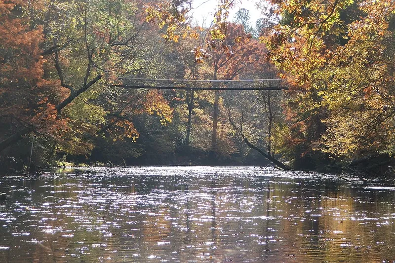
Tishomingo State Park
Rocky hills, a 1938 CCC swinging bridge over Bear Creek and some of the best trails in Mississippi.
- Full day
- Year-round; great fall color
- Mississippi State Parks day-use fee (per person)
Heads-up: Rocks are slick when wet.
Plan my day
Official site
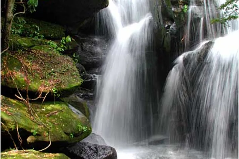
Photo: RBharris, CC BY-SA 3.0
#2 · Hike · 1 hr 45 min northwest
Dismals Canyon
A deep, mossy sandstone canyon with waterfalls and old hemlocks, famous for glowing Dismalites on night tours.
- 2-3 hrs
- Mar-Nov; Nov weekends only; 2027 season opens Mar 12
- Paid admission
- Confirm fees and hours before you go
Heads-up: Register at the Country Store. Phone line was down; email or visit in person.
Plan my day
Official site
Photo: Dallas Epperson, CC BY-SA 3.0
#3 · Cave · 1 hr 55 min northeast
Cathedral Caverns State Park
A cave with one of the widest entrances in the world and Goliath, a stalagmite about 45 feet tall. It stays about 60 degrees all year.
- 1-2 hrs
- Year-round 9 am-5:30 pm
- Tour fee
- Confirm fees and hours before you go
Heads-up: Reserve tours online ahead. No pets in the cave or buildings.
Plan my day
Official site
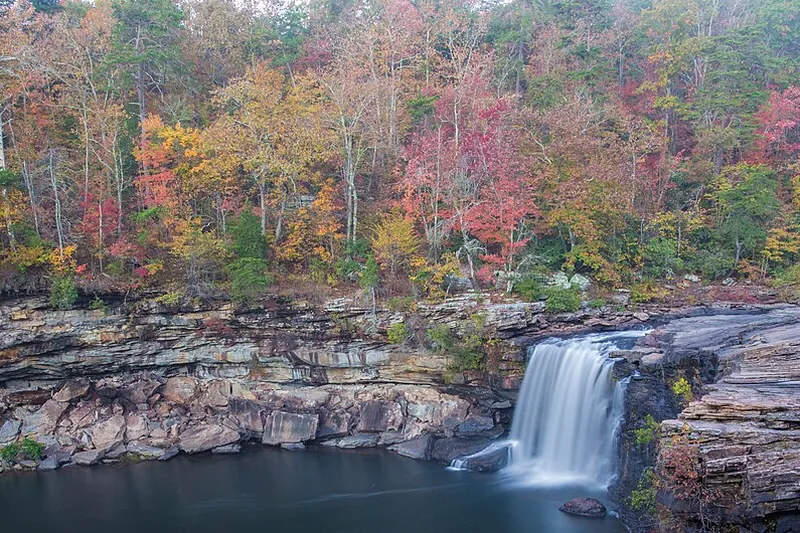
Photo: Richard A. Weaver, CC BY-SA 4.0
#4 · National park · 1 hr 56 min northeast
Little River Canyon National Preserve
A deep canyon on top of Lookout Mountain with a scenic rim drive, overlooks, Little River Falls and spots for paddling and climbing.
- Half day
- Year-round; falls best in spring
- Free
- Confirm fees and hours before you go
Heads-up: Pets on a 6-foot leash. Swift water and cliffs; swimming can be dangerous.
Plan my day
Official site
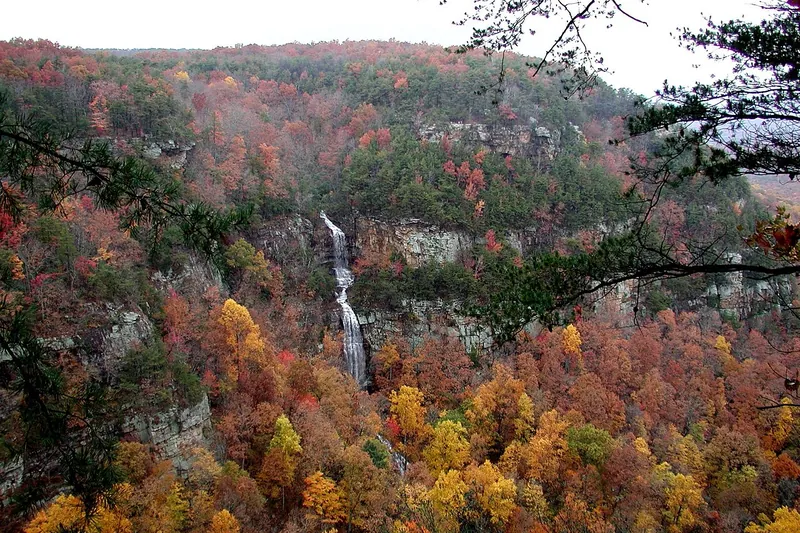
Photo: Ronmacal at English Wikipedia, Public domain
#5 · State park · 2 hr 7 min northeast
Cloudland Canyon State Park
A big canyon on Lookout Mountain with waterfall stairs, rim views and bike trails.
- Half day
- Year-round
- Georgia State Parks ParkPass $10 per vehicle (checked Nov 2026)
Heads-up: The waterfall trail has hundreds of steps. Rim overlook is short and easy.
Plan my day
Official site
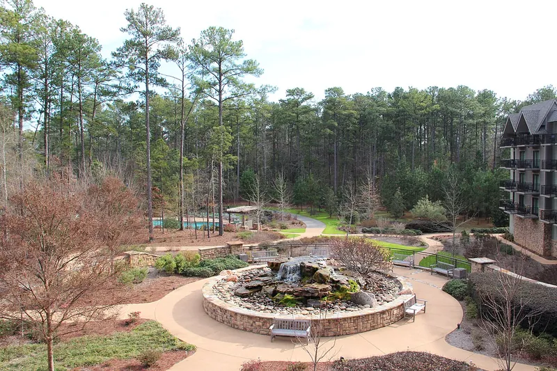
Photo: Thomsonmg2000, CC0
#6 · Garden · 2 hr 38 min east
Callaway Gardens
A big garden resort with a butterfly house, a lake beach, a chapel and a 10-mile bike trail.
- Full day
- Year-round
- General admission
- Confirm fees and hours before you go
Heads-up: Beach open in summer only. No strollers in the butterfly center.
Plan my day
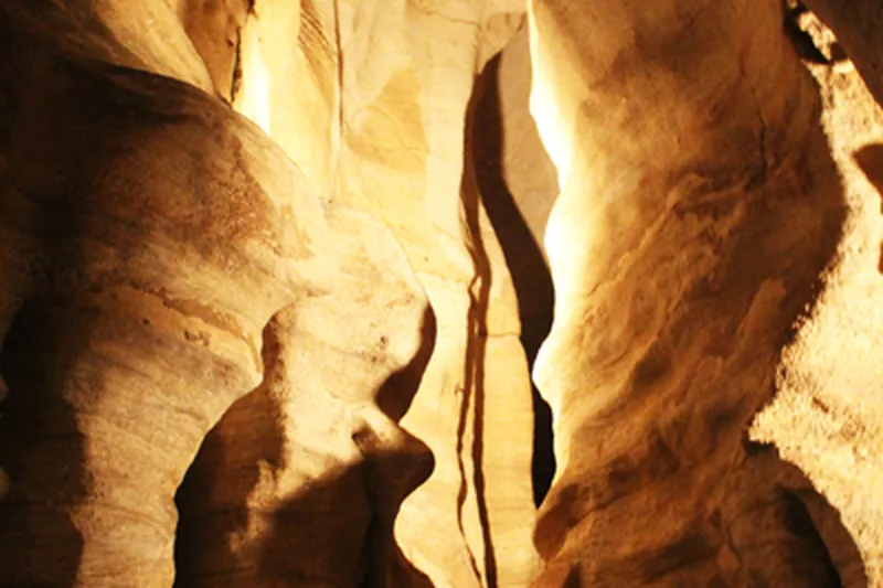
Photo: Matthew Gordon, CC BY-SA 3.0
#7 · Cave · 29 min north
Rickwood Caverns State Park
Guided tours through a living cave about a mile long, plus a big pool fed by cave water.
- 2-3 hrs
- Cave year-round; pool in summer
- Entrance $3 (12+), $2 (5-11); cave tour $19 incl. entrance; swim $7
- Confirm fees and hours before you go
Heads-up: Tour has 365 steps, 110 at the exit. Reserve ahead; tours can sell out.
Plan my day
Official site
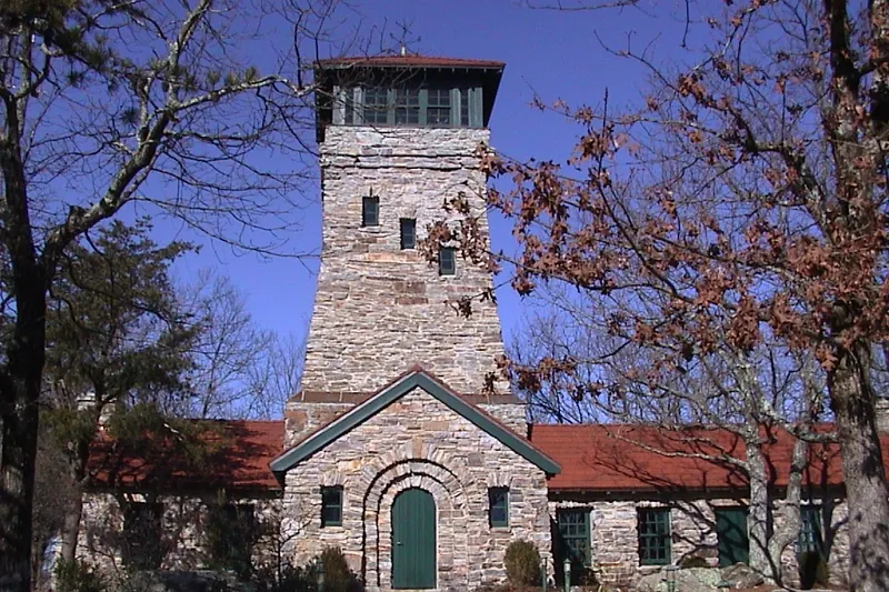
Photo: Ryan Cragun, Public domain
#8 · State park · 1 hr 26 min east
Cheaha State Park
The highest point in Alabama at 2,407 feet, with rock overlooks, a lake, CCC history and access to the Pinhoti Trail.
- Full day
- Year-round; admission ends 30 min before sunset
- $5 ages 12+; $2 ages 4-11 and 62+; veterans free
Heads-up: The old hotel was torn down; a new one is planned. Dog park on site.
Plan my day
Official site
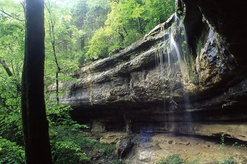
Photo: dmtilley, CC BY 3.0
#9 · State park · 1 hr 44 min north
Monte Sano State Park
A mountaintop park above Huntsville with about 20 miles of hiking, 14 miles of biking, CCC cabins, a Japanese garden and fall views.
- Half day
- Daily 8 am-sunset
- $5 ages 12-61; $2 ages 4-11 and 62+; max $20 per car
Heads-up: Trails close 30 min before sunset. Don't follow GPS on Bankhead Highway if towing.
Plan my day
Official site
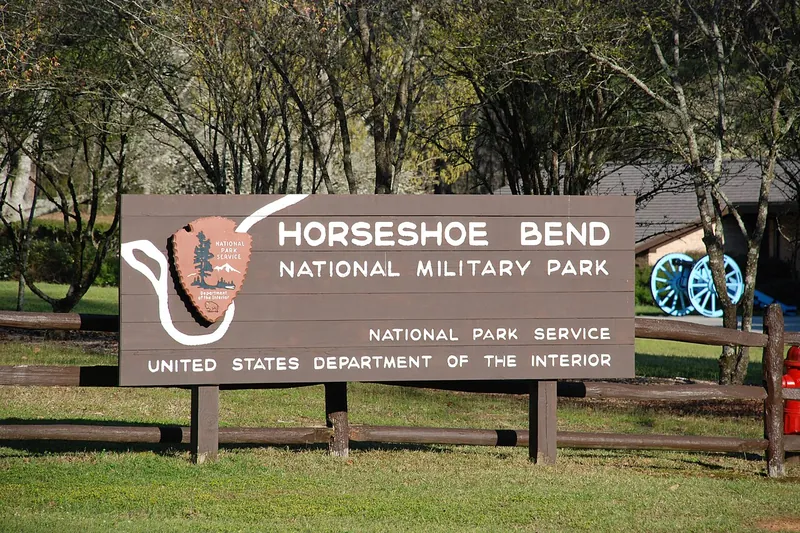
Photo: Allen Patterson from Auburn, Alabama, USA, CC BY-SA 2.0
#10 · Historic site · 1 hr 45 min southeast
Horseshoe Bend National Military Park
The site of the 1814 battle that ended the Creek War, with a tour road, river views and trails.
- 1-2 hrs
- Year-round
- Free
- Confirm fees and hours before you go
Heads-up: Phone 256-234-7111 for current conditions.
Plan my day
Official site
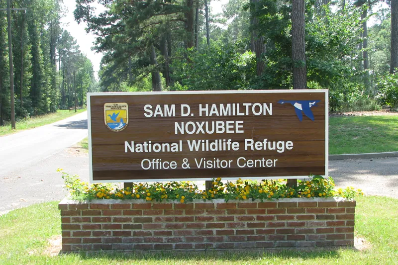
Photo: U.S. Fish and Wildlife Service Southeast Region, Public domain
#11 · Wildlife · 2 hr 37 min west
Noxubee National Wildlife Refuge
Big refuge near Starkville spread over three counties, with lakes and hiking trails.
Heads-up: Hunting seasons apply in parts of the refuge.
Plan my day
Official site
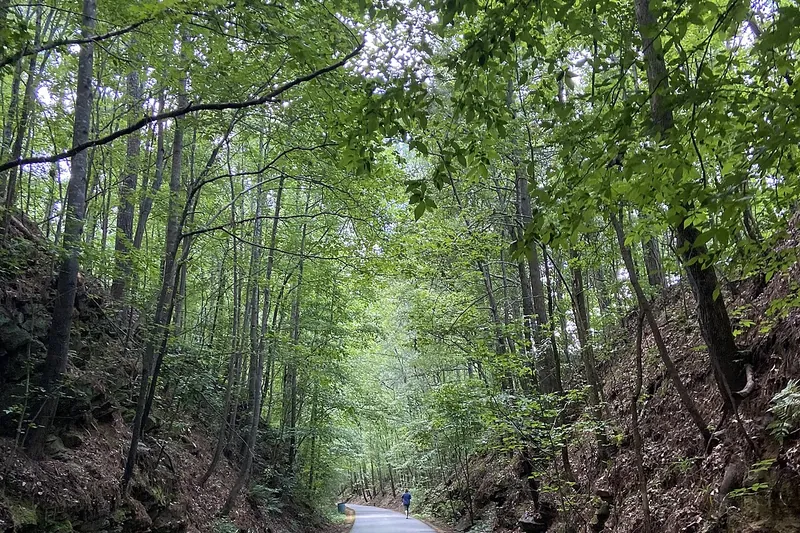
Photo: Kmvl11, CC BY-SA 4.0
#12 · Bike trail · 2 hr 11 min east
Silver Comet Trail
A long paved rail trail that runs west from Smyrna toward Alabama through woods, trestles and small towns.
Heads-up: Bring water; services are spread out on the western sections.
Plan my day
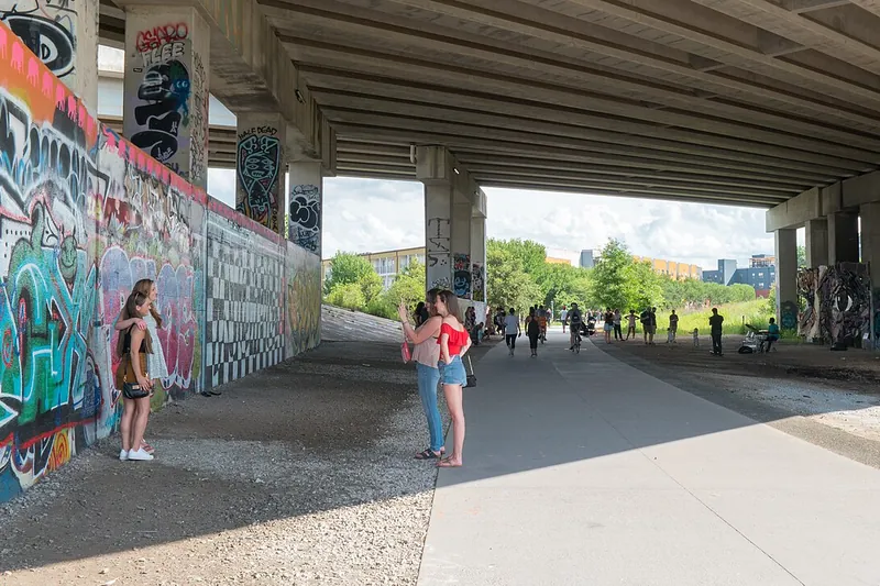
Photo: Marc Merlin, CC BY-SA 4.0
#13 · Bike trail · 2 hr 15 min east
Atlanta BeltLine
A paved rail trail loop project linking city parks, food halls and public art. The Eastside Trail is the busiest stretch.
Heads-up: Very busy on weekends with walkers, bikes and scooters. Ride slow and yield.
Plan my day
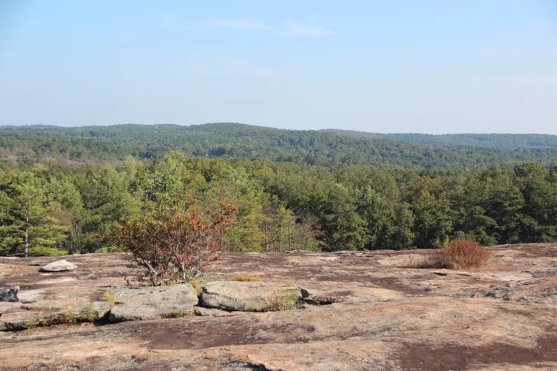
Photo: Thomson200, CC0
#15 · Hike · 2 hr 38 min east
Arabia Mountain National Heritage Area
Bare granite outcrops, rare plants and a long paved path for walking and biking east of Atlanta.
Heads-up: Rock gets hot in summer. Stay off the fragile plant pools on the granite.
Plan my day